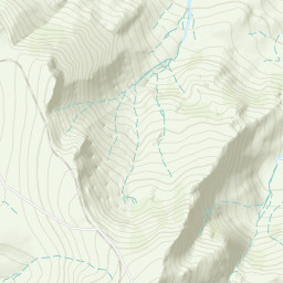
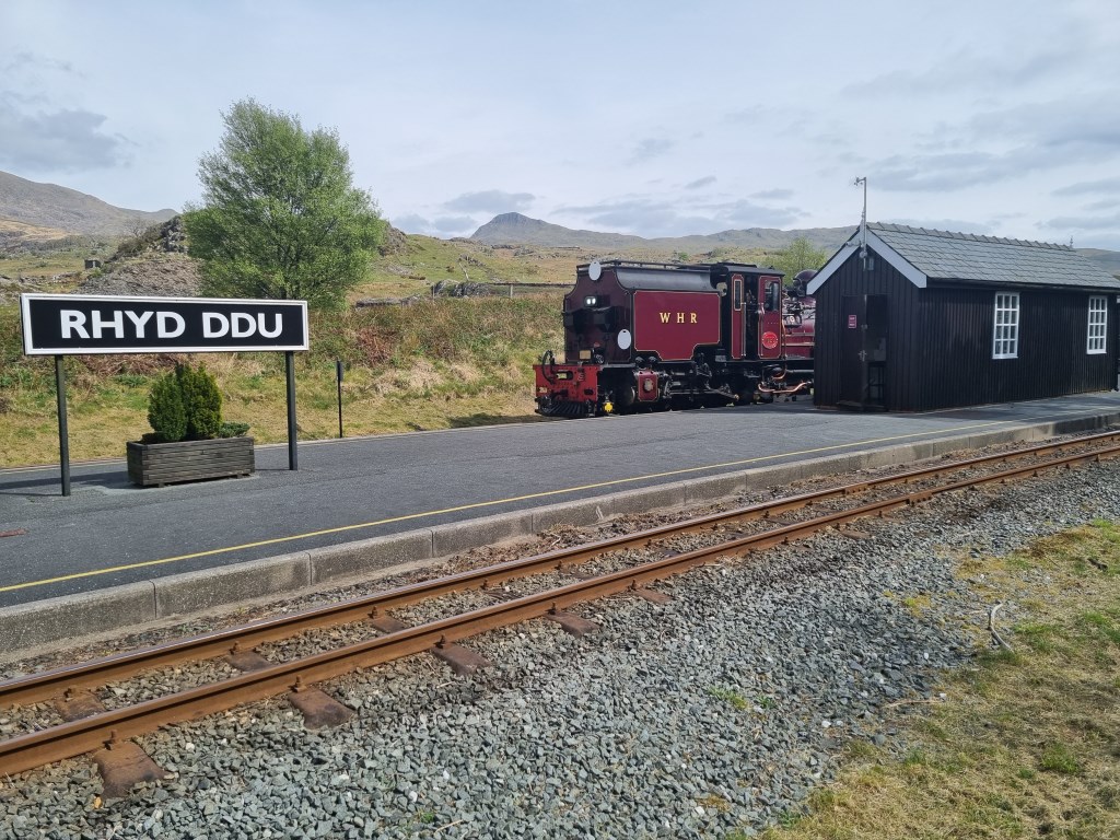
Snowden Summit (1085m) via Rhyd Ddu path (ascent) and Snowden Ranger Path (descent). Continuing the area familiarization for the south side of the Snowdon Massif discussed in yesterday's DLog (April 27), started from the Rhyd Ddu Rail Station parking lot. Ascended the Rhyd Ddu path to Liechog ridgeline, to Bwich Main, and up to the summit of Snowden. Descended back down to the valley floor via the Snowden Ranger path to the Snowden Ranger Rail Station at Llyn Cwellyn. Returned to Rhyd Ddu along the lake shore. This route provided excellent views of the surrounding area, including the terrain in Cwm Clogwyn and the ridges of the south of Snowden.
Total Time: 5 hours 30 minutes; Total Distance: 15.83km; Total Ascent: 1.223m
Weather: Reviewed weather forecasts from Met Office 'Specialist Forecast' for Snowdon Summit, and tracked MWIS forecast for Snowdonia and the regular 'Fleeting View' reports. Weather was mostly sunny with good visibility all day. High Pressure dominated over the UK again today (as yesterday) so mostly sunny with a few clouds building in late. No rain, light winds as forecast.
Navigation Planning: Used the OS Maps App on my computer to assess and plan the route. Printed and laminated the route map at A4 size for the journey. Carried an OS Explorer OL17 1:25000 map and a Harvey XT40,1:40000 map as backup.
Safety and Risk: I carried my First Aid Kit, Blizzard Bag blanket, and a 4 person emergency shelter, as well as as my Garmin InReach Mini, with a 'Professional' level subscription. I also left a copy of the route plan at home with my wife. The ground under foot was dry, and the weather fair. Risk was assessed as Low, with preparations for any eventuality.
Area :
Snowdon Massif
Snowdon (Welsh: Yr Wyddfa) is the highest mountain in Wales, at an altitude of 1,085 metres (3,560 ft) above sea level, and the highest point in the British Isles outside Scotland. It is located in Snowdonia National Park (Parc Cenedlaethol Eryri) in Gwynedd, and has been described as "the busiest mountain in Britain". It is designated as a national nature reserve for its rare flora and fauna.