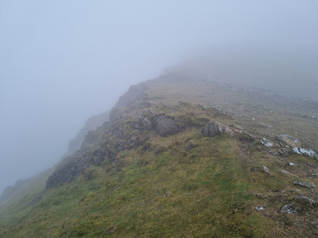
Moel Hebog (783m): Start from the Beddgelert Welsh Highland Railway Station Parking Lot. Initially explored the wonderful little village of Beddgelert, primarily to locate Gelert's Grave and learn the story/myth/legend that can be related to client's if walks were conducted in this area. The lore makes for an interesting start. Then headed up the to the summit of Moel Hebog, which hangs over Beddgelert. This is one consistent straight up ascent, with several rock steps to scramble up, especially rocky near the summit. This was a good opportunity to work on timing legs with steady 30 degree ascent and descent, measuring off distances from points of interest and timing extended legs of over 500m. The longest leg was 900m. This would normally take ~20 minutes on the flat, and this took 40 minutes with this consistent angle of ascent. Wet and slippery rock and the need to scramble up rock steps made the approach time over distance consistently double the normal estimation. Since the surrounding summits were mostly visible I took breaks along the route and took bearings to known summits, i.e., Yr Aran, and Lliwedd Peaks and compared them to my known location on Moel Hebog. Even though the Snowdon summit was covered by cloud I aimed straight up Clogwyn Du and Bwich Main and knew that pointed to the Snowdon summit. Spring was showing up in fields of Bluebells.
Total Time: 6 hours 5 minutes; Total Distance: 11.4km; Total Ascent: 1,394m
Weather: Reviewed weather forecasts from Met Office 'Specialist Forecast' for Moel Hebog (Met Office Special Forecasts specifically include Moal Hebog summit), and tracked MWIS forecast for Snowdonia and the regular 'Fleeting View' reports. Weather was mostly overcast and raining with good visibility at the start, with cloud and fog at the summit, and clear and then clear and sunny at the return to the valley floor.
Navigation Planning: This was an entirely new area for me, starting to explore the Moelwynians. I started with the OS LandRanger 115 1:50,000 map to select the general route, then used the OS Maps App on my computer to assess and plan the detailed route. Printed and laminated the route map at A4 size for the journey. Carried an OS Explorer OL17 1:25000 map and a Harvey XT40,1:40000 map as backup.
Safety and Risk: I carried my First Aid Kit, Blizzard Bag blanket, and a Summit 4 person emergency shelter, as well as as my Garmin InReach Mini, with a 'Professional' level subscription. I also left a copy of the route plan at home with my wife. The ground (rock) under foot was wet, with a regular steep angle of approach. Care and attention to footing was important. Weather was mild. Risk was assessed as Low.
Area :
Nantlle & Hebog
The Nantlle Ridge is the name given to a small range of mountains in Snowdonia, north Wales which runs south-west from the village of Rhyd Ddu for a distance of about 9 km (6 mi), ending above Talysarn and Nebo in the Nantlle Valley.