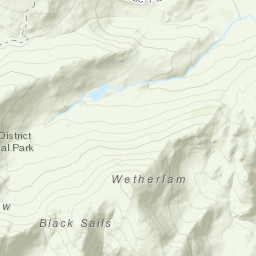
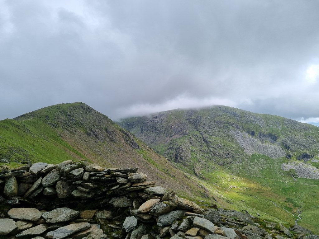
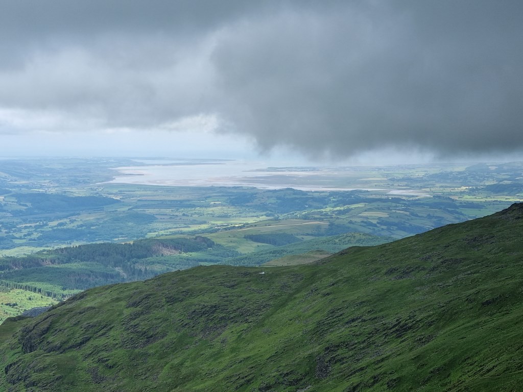
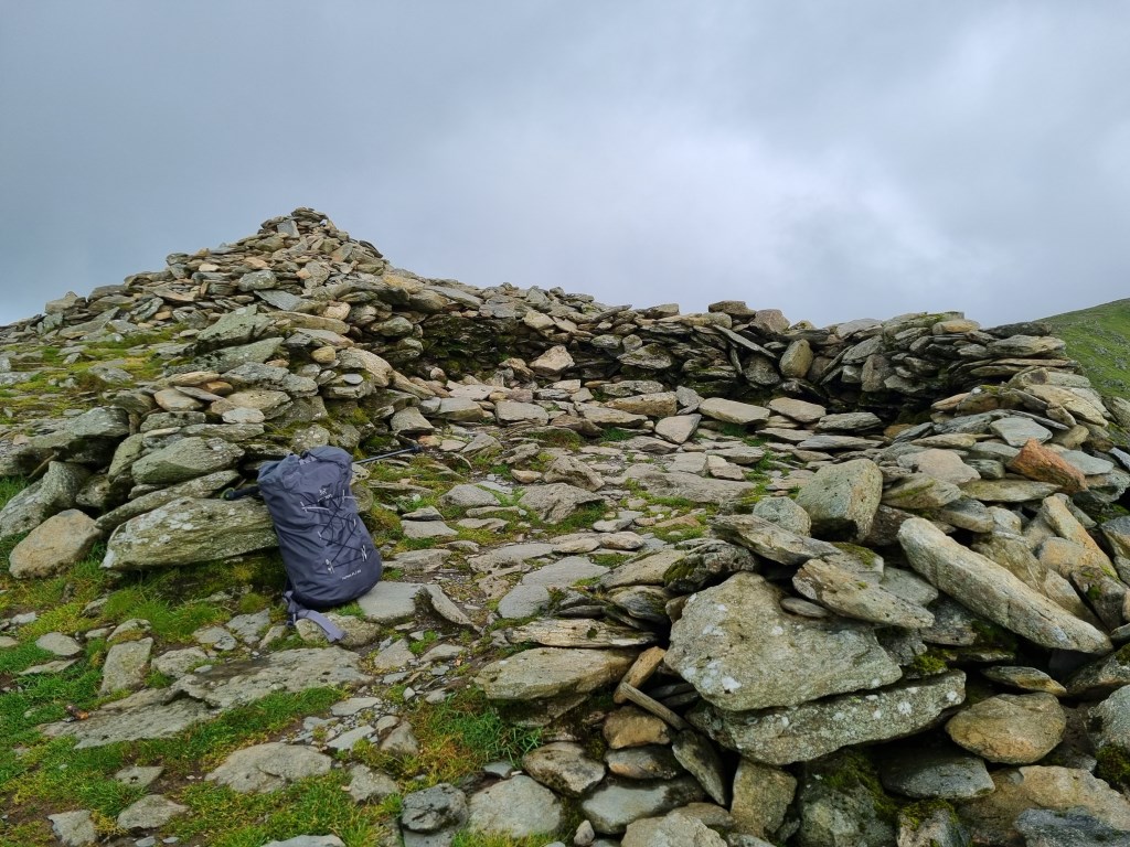
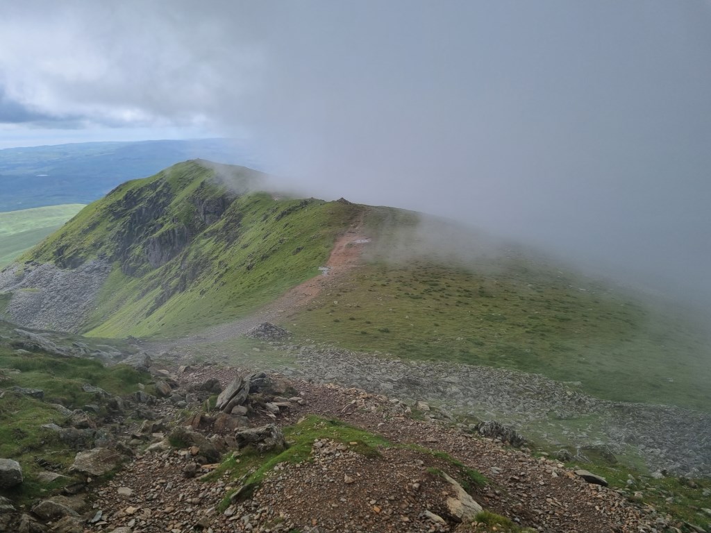
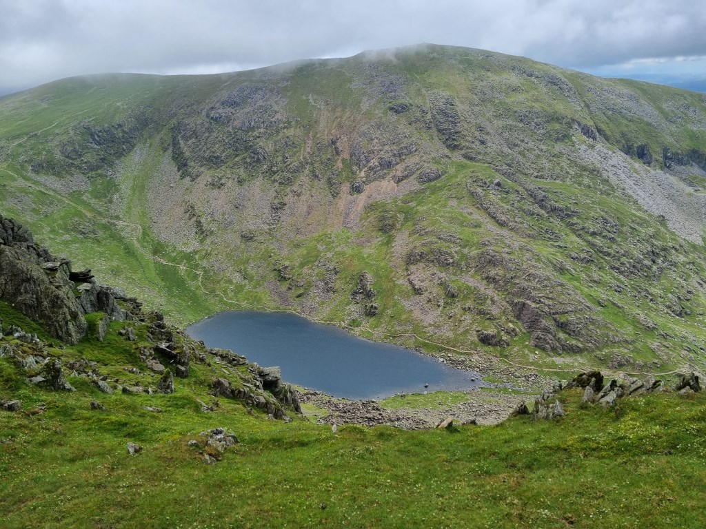
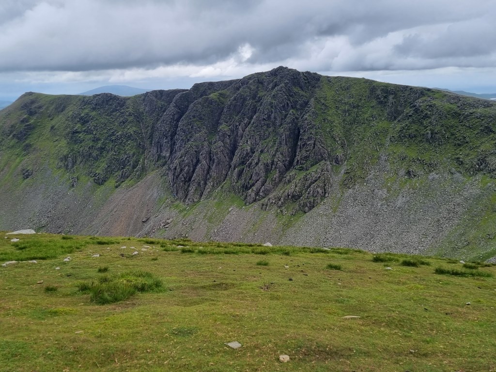
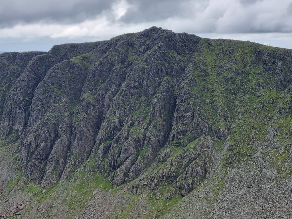
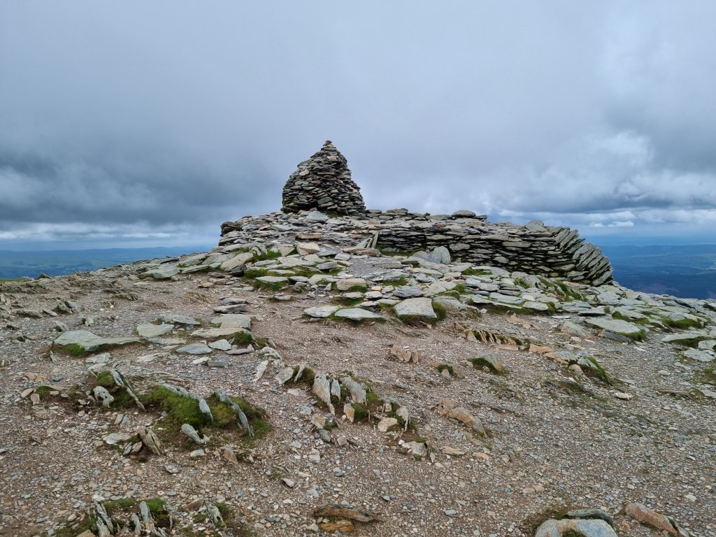
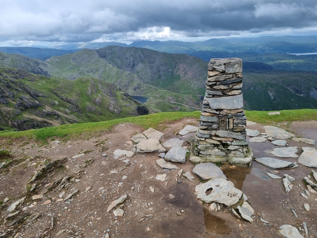
Furness Fells: The Old Man of Coniston (803m) circular route: Started from Walna Scar Parking area. Trekked west to Walna Scar (621m), then turned north and ascended to the ridge line of Brown Pike (682m), Buck Pike (744m) and Dow Crag (778m), scrambling over Dow Crag. Then turned east into the saddle at Goat's Hawse and ascended to The Old Man of Coniston summit. Then turned back north to Brim Fell (796m) scrambled over the Great How Crags to Swirl How (802m). Turned east and descended over ridge of Prison Band to the mid saddle of Swirl Hawse. Turned back south and descended to Levers Water (Reservoir) and Boulder Valley, and continued back to Walna Scar car park.
Total Time: 6 Hours 31 Minutes; Total Distance: 15.86; Total Ascent: 1,318m
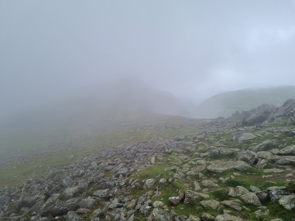
Weather: Reviewed weather forecasts from Met Office 'Specialist Forecast' for Coniston (village) and The Old Man of Coniston summit. Also tracked MWIS forecast for The Lakes and the regular 'Fleeting View' reports. A review of the Synoptic Charts show exceptionally unsettled weather with a Low Pressure centered over Ireland, and several other Lows in the surrounding area (mid Atlantic). Only High was over the Continent. The result was a swirl of Occluded Fronts over the UK. The result was that the weather forecast was significantly off target. Weather forecast called for continuous heavy rain and Poor to Very Poor visibility throughout the day. At the start of the walk, just as I arrived at Coniston heavy rain did start to fall. I put on waterproofs in the truck at Walna Scar parking lot and headed up the trail. The rain stopped within about 15 minutes and the sun came out, which started a regular faff of on and off waterproofs through out the day as rain would threaten and then the sun return. The last half hour of the journey included heavy rain again, but for the most part the day was partly cloudy and windy with mixed sun and light rain. Heavy rain only at the start and finish.
Navigation Planning: This was an entirely new area for me. Started planning with the OS Maps App on my computer to assess and plan the detailed routes. Printed the route maps at A4 size for the journey to leave at home with my wife, but did not laminate this time. Carried an OS Explorer OL 6 The English Lakes South Western Area 1:25000 map as backup. Also carried and compared a Harvey Ultramap 1:40,000 map to compare with the OS. I really liked the Harvey Ultramap small size. It was so easy to handle and keep in a pocket for easy access. That is what I used all day.
Safety and Risk: I carried my First Aid Kit, Blizzard Bag blanket, and a Summit 4 person emergency shelter, as well as as my Garmin InReach Mini, with a 'Professional' level subscription. I also left a copy of the route plan at home with my wife. The ground (rock) under foot was mostly wet from regular bouts of rain, and there was a lot of loose rock to scramble over at times near the summits, and a regular steep angle of approach. Care and attention to footing was important. I have also started carry and use walking poles. Risk was assessed as Low.
Area :
Southern Fells (Scafell Pike)
The Southern Fells Include Scafell Pike, the highest peak in England, occupy a broad area to the south of Great Langdale, Borrowdale and Wasdale. High and rocky towards the centre of the Lake District, the Southern Fells progressively take on a moorland character toward the south west. In the south east are the well known Furness Fells, their heavily quarried flanks rising above Coniston Water.