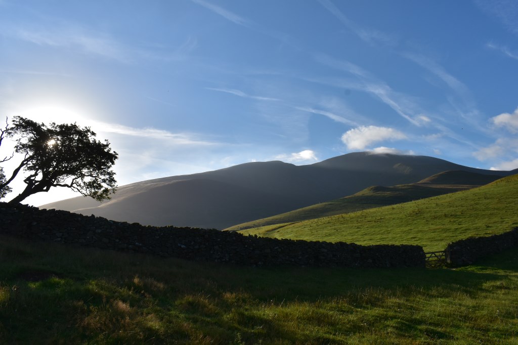
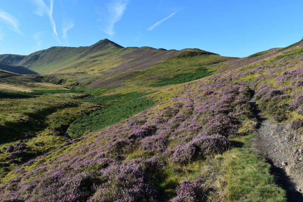
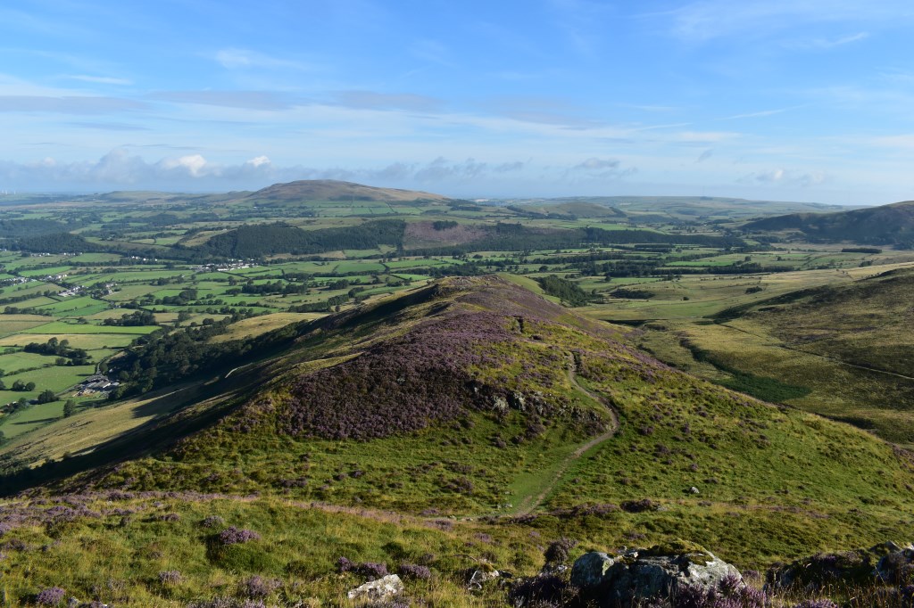
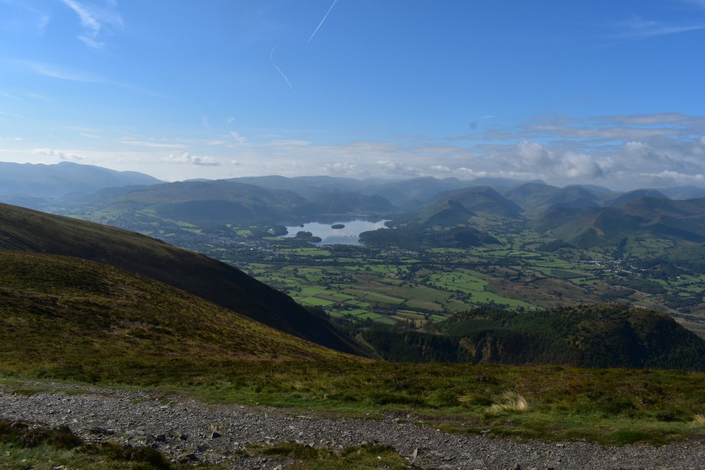
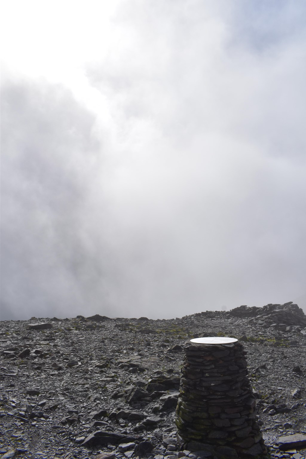
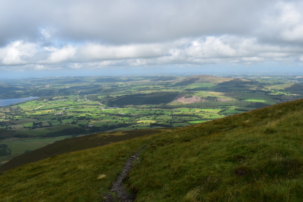
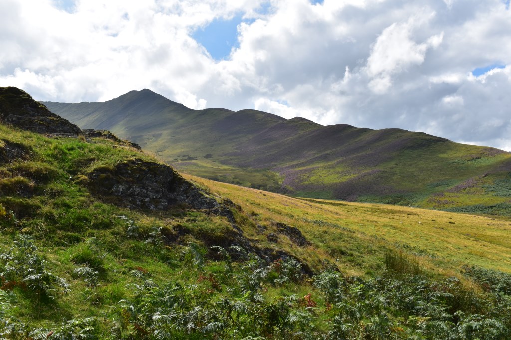
I enjoyed checking a route up to Skiddaw via Ullock Pike - I wanted to do a circular route so I headed South from a parking area just South of Bassenthwaite village, walked along 'The Edge' up to Ullock Pike, Longside Edge to Carl Side then on to the summit of Skiddaw. Up to this point, the views were outstanding. Upon reaching the summit the cloud dropped and visibility was less than 50m. I headed North from the summit of Skiddaw and down to Bakestall where the mist cleared. I dropped down through heather, crossed Barkbethdale and returned via Little Knott to my starting point.
Area :
North Western Fells
Essentially this area is encompassed by Lakes of Bassenthwaite, Derwent Water, Buttermere and Crummock Water with the southern boundary being the Honister Pass