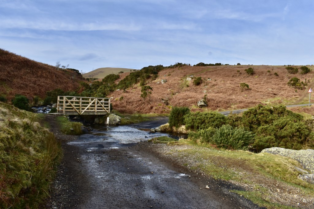
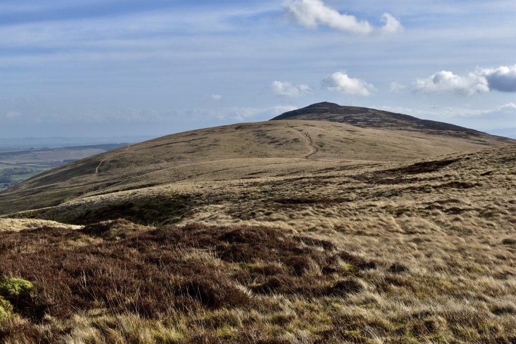
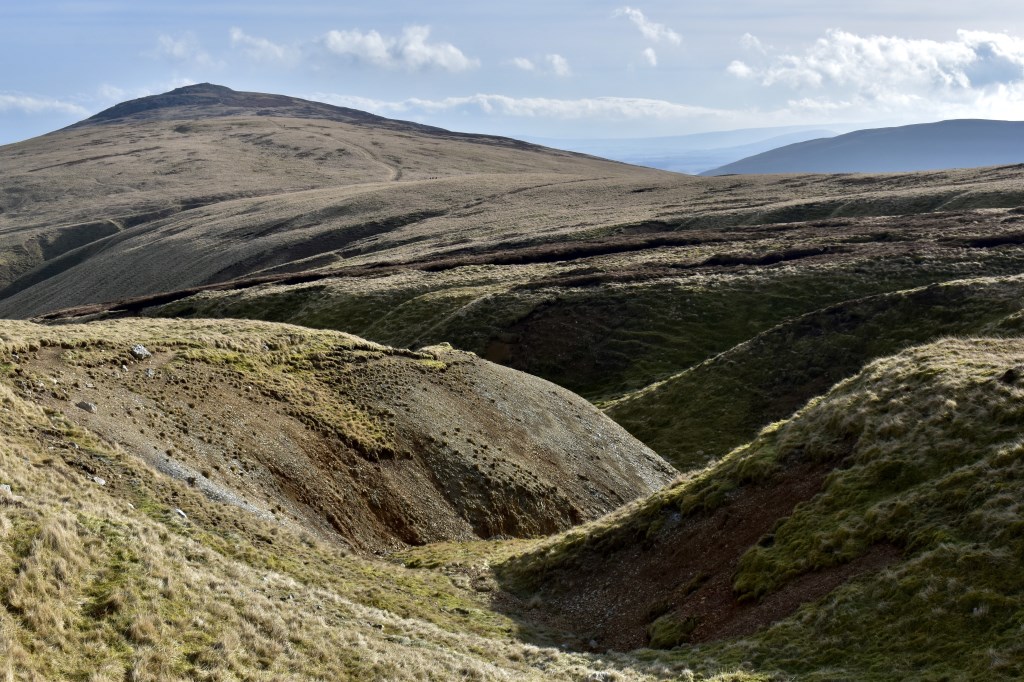
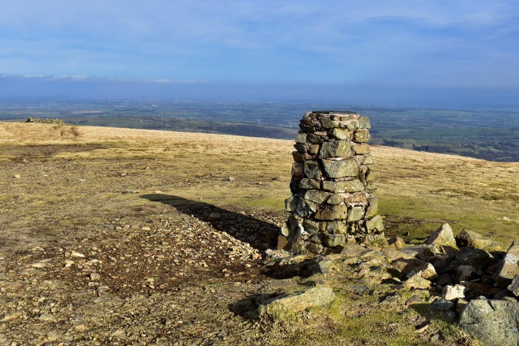
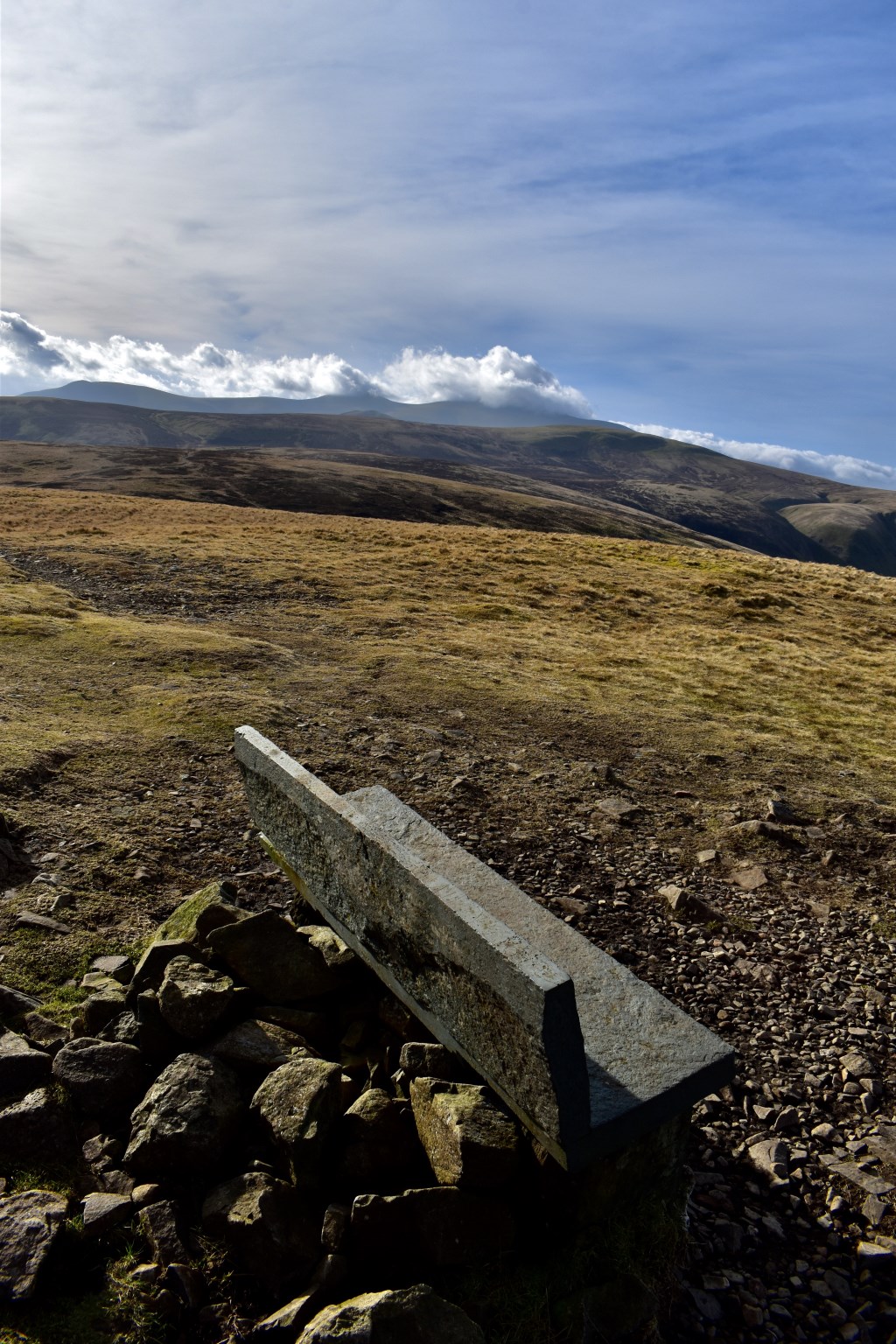
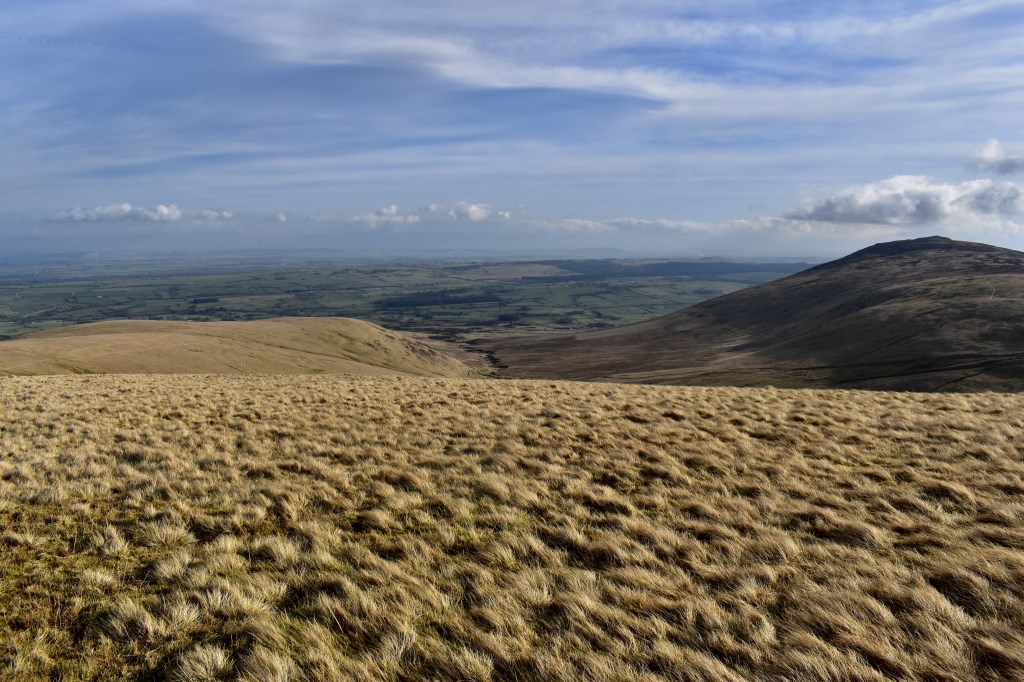
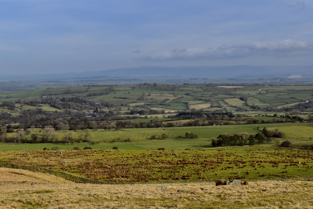
Starting from the side of Carrock Beck I headed up the valley and climbed to Milton Hill and visited Carrock Fell before heading back to Milton Hill and on to High Pike. The wind was extremely strong on the summits with even stronger gusts. I headed down to the North over Low Pike before heading off path across the moor to join a track leading to the road at Calebreck. I followed the road from there to return to Carrock Beck.
Area :
North Western Fells
Essentially this area is encompassed by Lakes of Bassenthwaite, Derwent Water, Buttermere and Crummock Water with the southern boundary being the Honister Pass