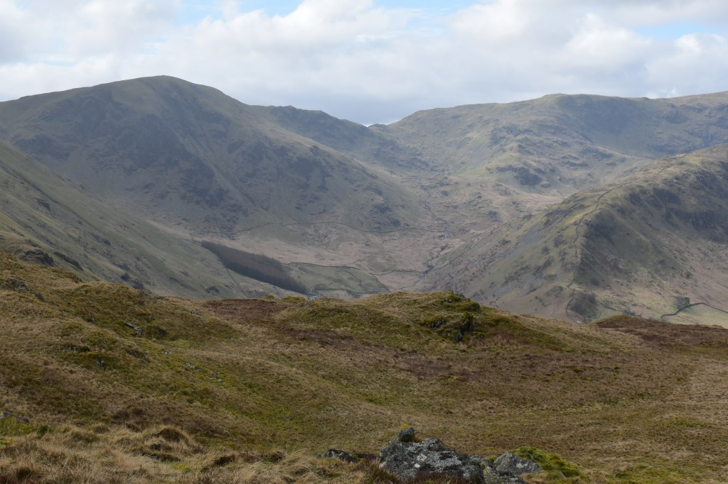
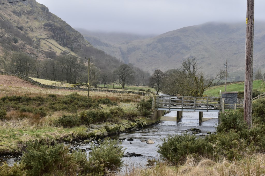
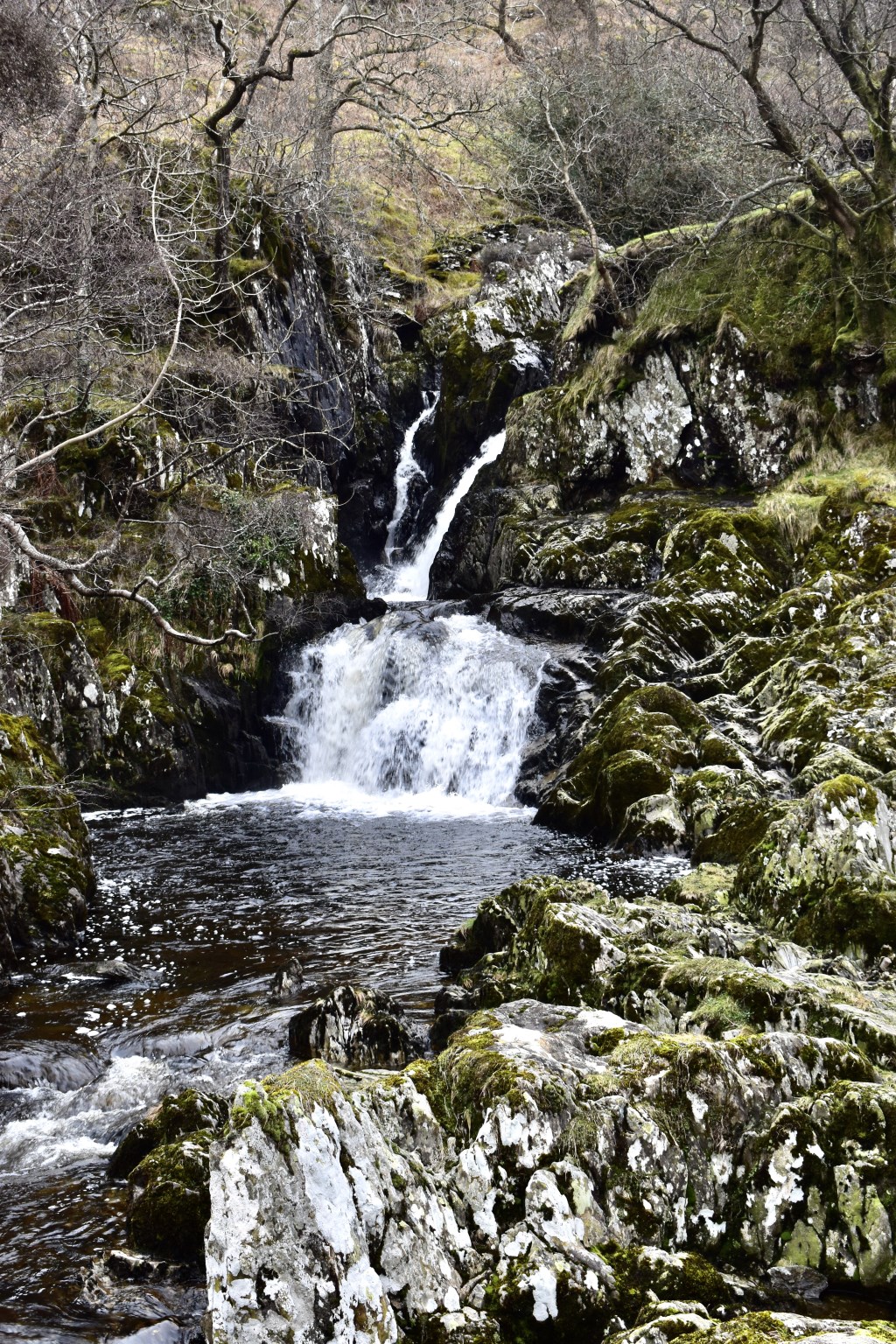
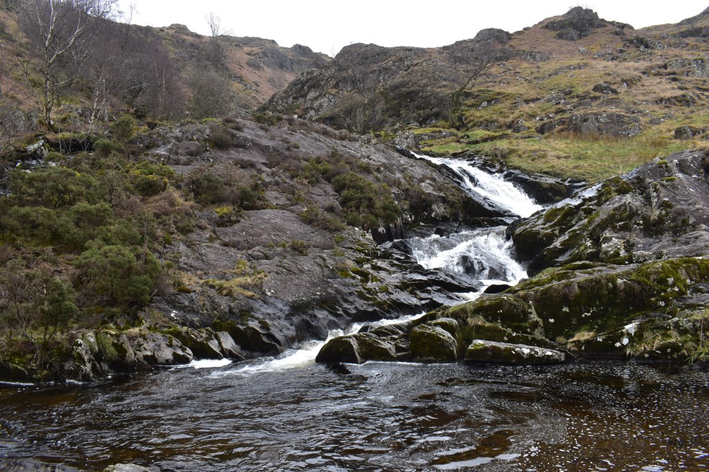
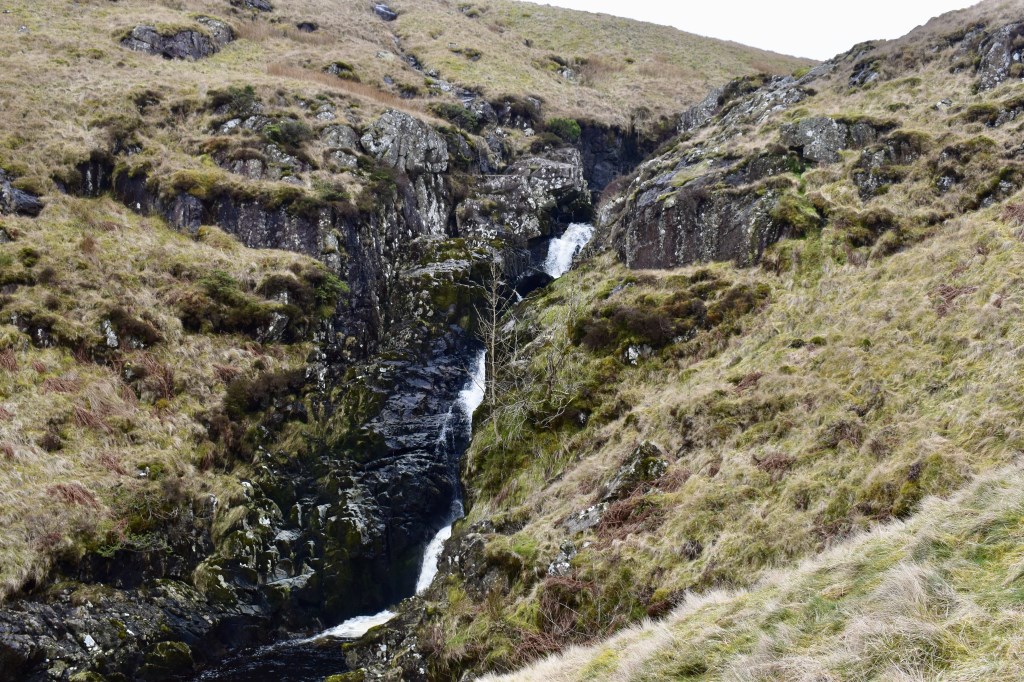
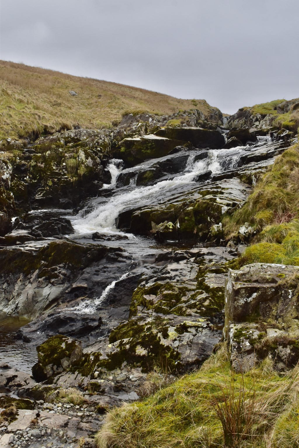
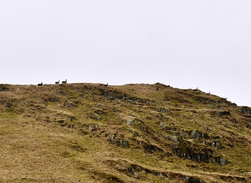
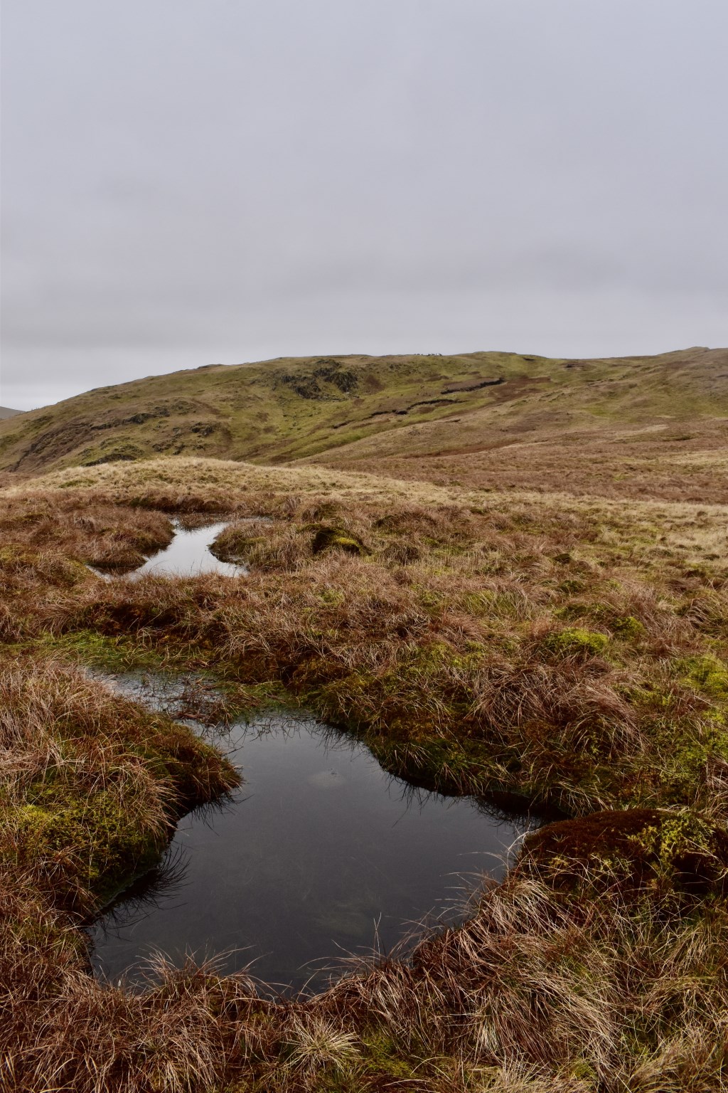
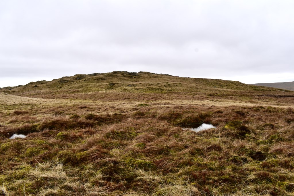
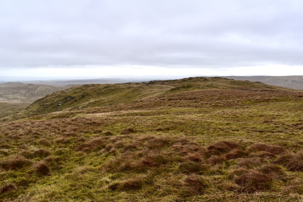
I set off from Rosgill Moor and walked through the valley of Swindale to Simon Stone. From there I headed up 'off piste' beside Forces Falls to the top. I continued to Swine Gill where I turned West and headed up onto Nabs Crag and Nabs Moor. It was very boggy! I headed SW over the pathless moor to the cairn marked 544m then onto Howes, where I saw a herd of deer with 2 Stags. I continued along the fell, following the deer to the nameless summit at 673m (part of Artlecrag Pike?) before heading North around Captain Whelter Bog (still pathless and very boggy!). I went onto the summit of Selside Pike then dropped down Selside End. I followed the Old Corpse Road to the West as far as Rowantreethwaite Cairn before heading back to Selside End. I intended to continue North to Powley's Hill and Rosgill Moor but the ground was far too boggy so I dropped down on the Corpse Road back to the valley and completed my walk through the valley.
Area :
Eastern Fells
The Eastern Fells occupy the region between the A591 Keswick to Ambleside road and the lake of Ullswater to the west. The Helvellyn range forms the main spine of the group. To the south across the depression of Grisedale Hause, is the Fairfield group of fells.