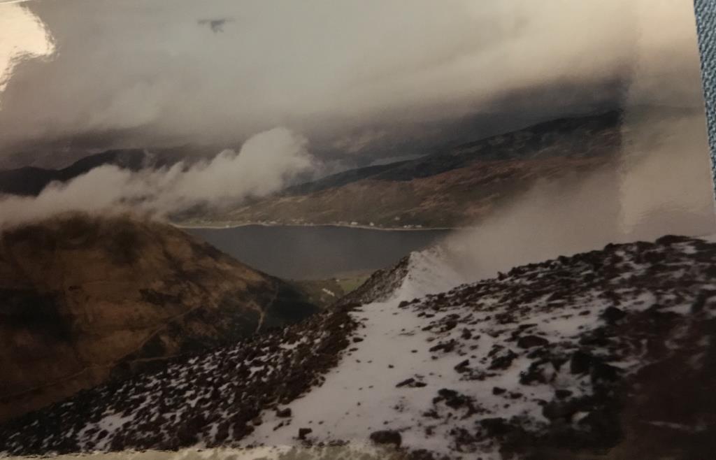
Group walk beginning in Ballachulish. We climbed steeply over a grassy section and through some thick heather and we walked through a hailstorm before arriving at the summit of Beinn Bhan. The summit was covered in a few inches of light snow and patchy ice, and visibility was zero. As we paused to catch our breaths, however, the cloud skimmed away from the summit and visibility was excellent! (A view I will never forget!). Full winter clothing was required with a slight wind chill in the breeze. A mostly sunny afternoon invited us to take our time walking over to Sgorr Bhan, Sgorr Dhearg, Beinn a Bheithir and over the grassy slopes to Creag Ghorm.
Area :
Glencoe South (Loch Linnhe To Loch Etive)
The southern side of Glen Coe includes some very well-known mountains and can be split into two groups; the ones you can see from the A82 and the ones you can’t. Included in the former group is Buachaille Etive Mor, Buachaille Etive Beag, the Three Sisters and the Ballachulish Horseshoe, and in the latter, three Munros between Glen Creran and Glen Etive (Sgor na h-Ulaidh, Beinn Fhionnlaidh and Beinn Sgulaird). With huge amounts of climbing and walking in summer and winter, this area is also home to a large cairn built for Queen Victoria, or so the story goes. Includes all major peaks above 600m.