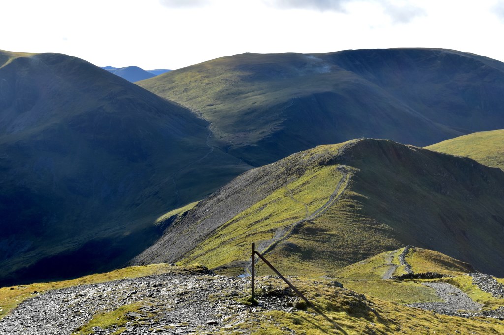
A stunning day with excellent visibility and a frosty start. The rocks were greasy on the final climb to the summit. I set off from Knott Head car park and headed off through the trees before making my way over open countryside across Heavy Sides, to meet the main path coming up from Braithwaite. I headed up the path to the summit and then back down via Hobcarton End. The forestry tracks were closed so I made my way along the fence line to a track that wasn't closed and headed back to the car park.
Area :
North Western Fells
Essentially this area is encompassed by Lakes of Bassenthwaite, Derwent Water, Buttermere and Crummock Water with the southern boundary being the Honister Pass