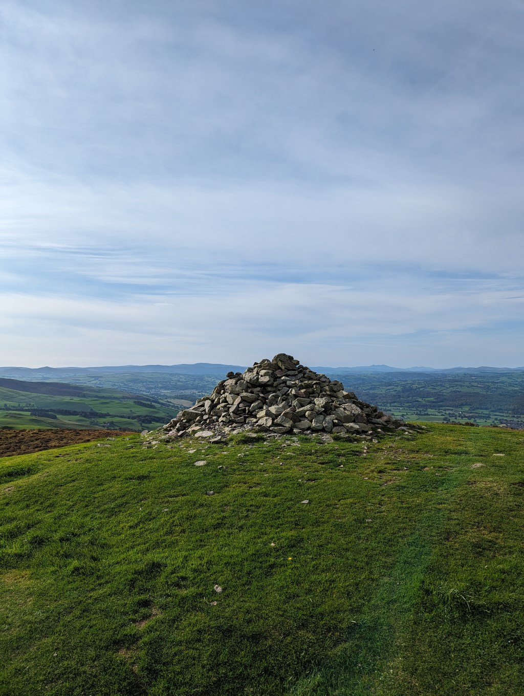
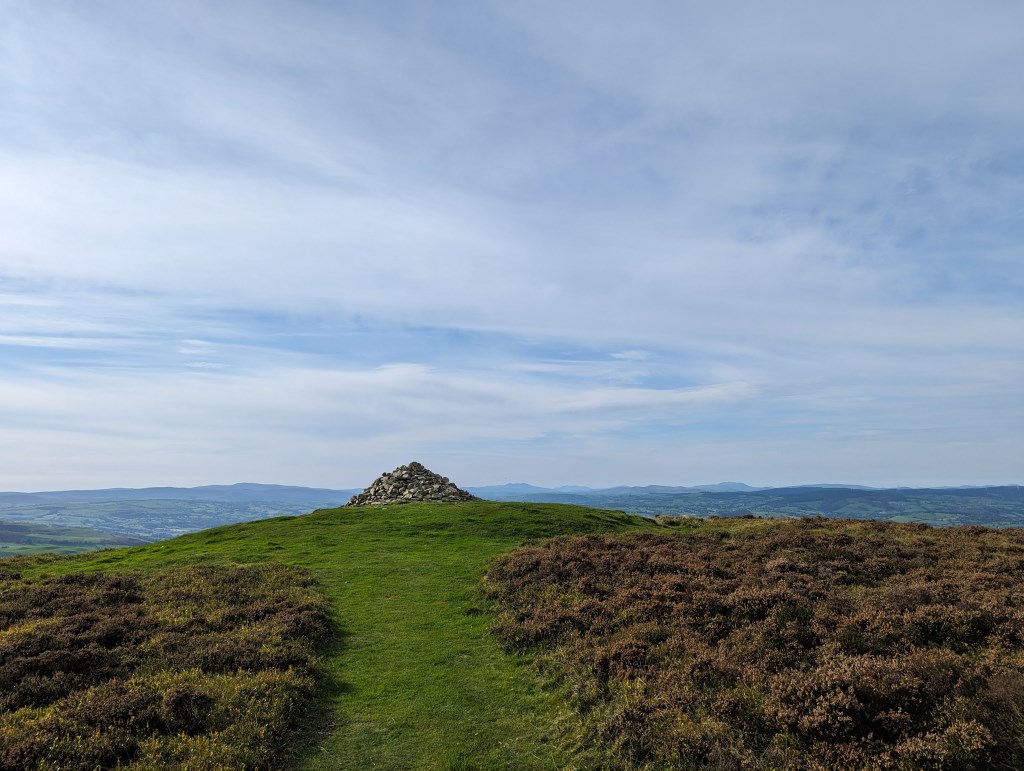
Checked weather in the morning: no rain, sunny, minimal cloud. Parked in Moel Famau carpark at the base of Moel Fenlli. Walked through small gated field to the start of the ascent. Very steep and narrow path leading in a zig-zag, potentially slippery rocks embedded in the pathway. Were no issue but needed to be vigilant as not to misstep my footing. Nearer the summit, man-made wooden steps which aided in the ascent. Reaching close to the top, the iron age ramparts of the old fort became visible, with the walkway rising and falling with each layer of the earthwork defense. At the summit, with visibility still perfect, could see all around the Clywdian range, Bwlch Penbarras (An ancient mountain pass between Famau and Fenlli) Moel Famau. A large bronze age cairn at the summit. The Moel Fenlli hillfort being said to make a 'statement' to the surrounding area and look down on the ancient mountain passes of Bwlch Penbarras and Bwlch Crug-glas. Once I had taken in the views and the history, I descended down the way I came, back on to Bwlch Penbarras, past the carpark and started on the trail to Moel Famau. I used the pathway along the permiter of the base of the ascent, then joining on to a steeper path on the way to the summit. Path was very busy. Pushed on at a good pace and reached the summit. Explored the Jubilee tower and taking a rest on the stone wall before descending down the steep path, joining on the a wooded pathway which took you back to the Bwlch Penbarras carpark
Area :
Clwydian Range
The Clwydian Range (Welsh: Bryniau Clwyd) is a series of hills and mountains in north east Wales that runs from Llandegla in the south to Prestatyn in the north, with the highest point being the popular Moel Famau. The range is designated as an area of outstanding natural beauty.