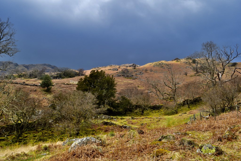
Spent the day leading a lovely beginner's navigation day training for a couple who were training for an overseas expedition. It was the first time they had visited the area and really enjoyed the route as well as picking up the skills very quickly. We went a little way up the hills around Seatoller before returning on a lovely valley route.
Area :
North Western Fells
Essentially this area is encompassed by Lakes of Bassenthwaite, Derwent Water, Buttermere and Crummock Water with the southern boundary being the Honister Pass