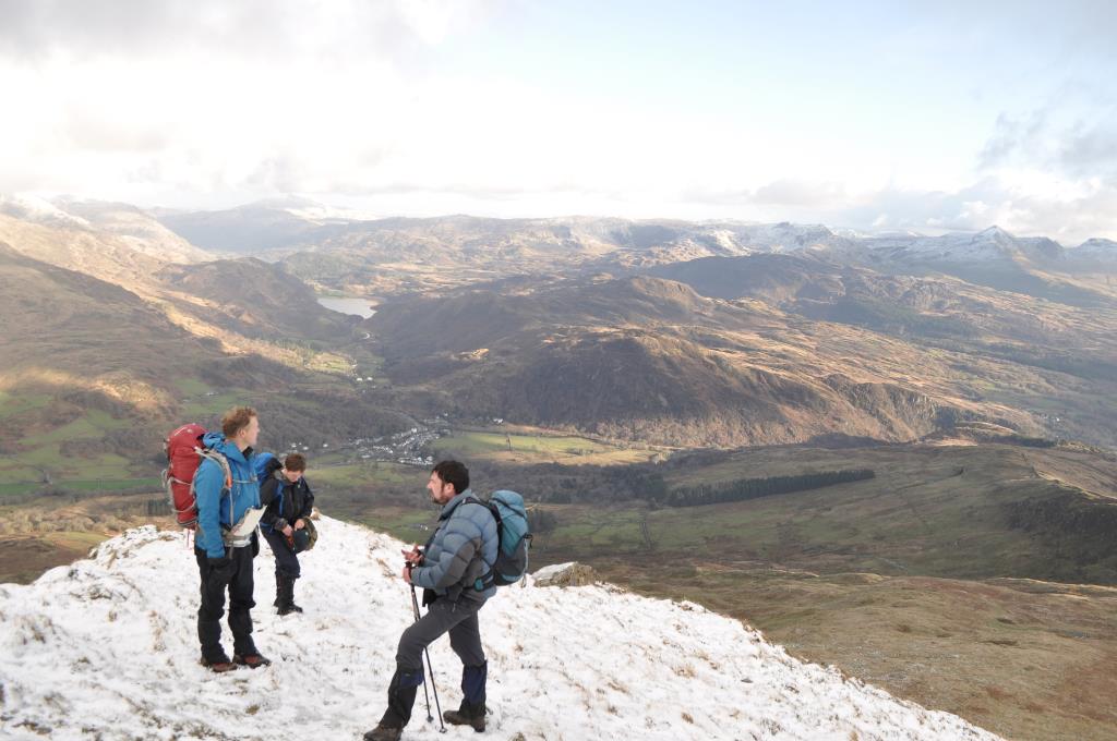
Moel Hebog Thurs 28th Dec 2017
Route
Path from Cwm Gloch farmhouse take path up NE spur to Moel Hebog (783m) from cairn descend NW following wall down to Bwlch Meillionen, contour 570m line toward Diffwys North Ridge and Bwlch Y Ci, decend Y Briach and finally SE to rejoin main path back to Beddgelert.
Weather
Cold with intermittent cloud.
Ground conditions
Well established hail balled snow over 550m. Short section for crampon use descending from summit towards Bwlch Meillionen
Time
Length: 8km, Height gain: 842m Highest point Moel Hebog (783m) Time: 6 hrs
Group - Lead plus 6
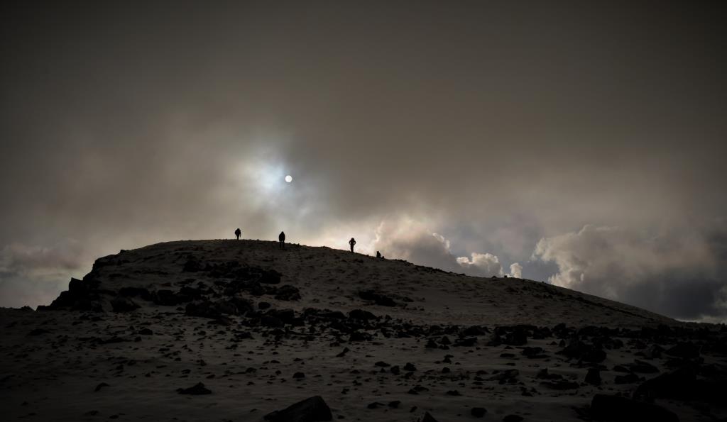
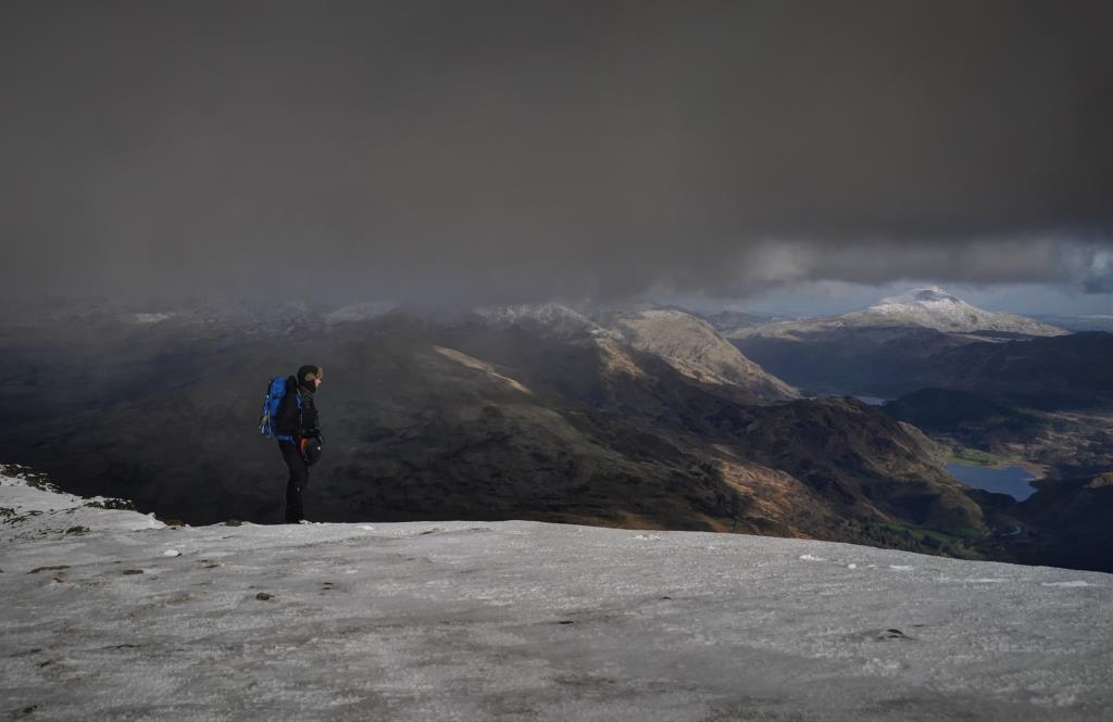
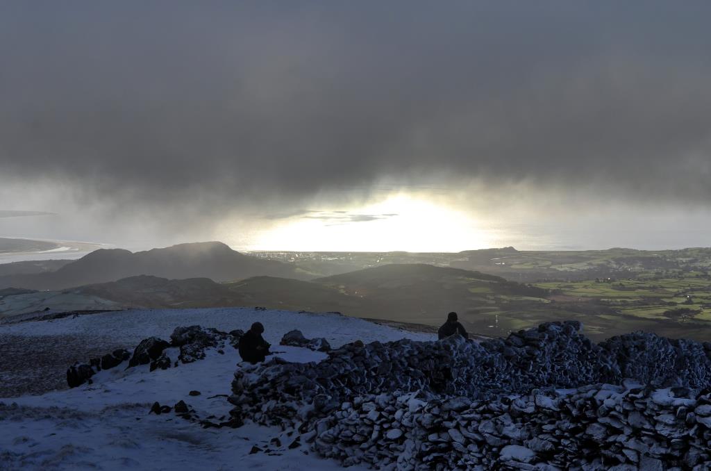
Gentle start through forest then continue onto NE Spur, at approx 600m contour snow conditions deepen and gradient increases towards summit. Usual path buried so i take the best route avoiding areas of unstable snow. Overcome impressive cornice as we top out on false summit. Route to cairn through deep fresh snow. Take in the view as conditions improve and cloud parts. Brilliant Glory observed as we approach summit. All off the Lleyn peninsular bathed in golden winter sunlight. Descend NW via wall towards Bwlch Meillionen, contour 570m line toward Diffwys North Ridge and Bwlch Y Ci, decend Y Briach and finally SE to rejoin main path back to Beddgelert.