Route Scafell Pike 21st Feb
Wasdale Head, from Wasdale Inn via Lingmell path to Brown Tongue then to Scafell Pike (978m), descend via normal route to col between Lingmell Col then onto Lingmell (807m), descend to Lingmell plateau blow Goat Crags the follow ridge down to Lingmell Gill.
Weather
Clear Cold winters day -2 degrees start, clouding over to 500m contour around mid day.
Ground conditions
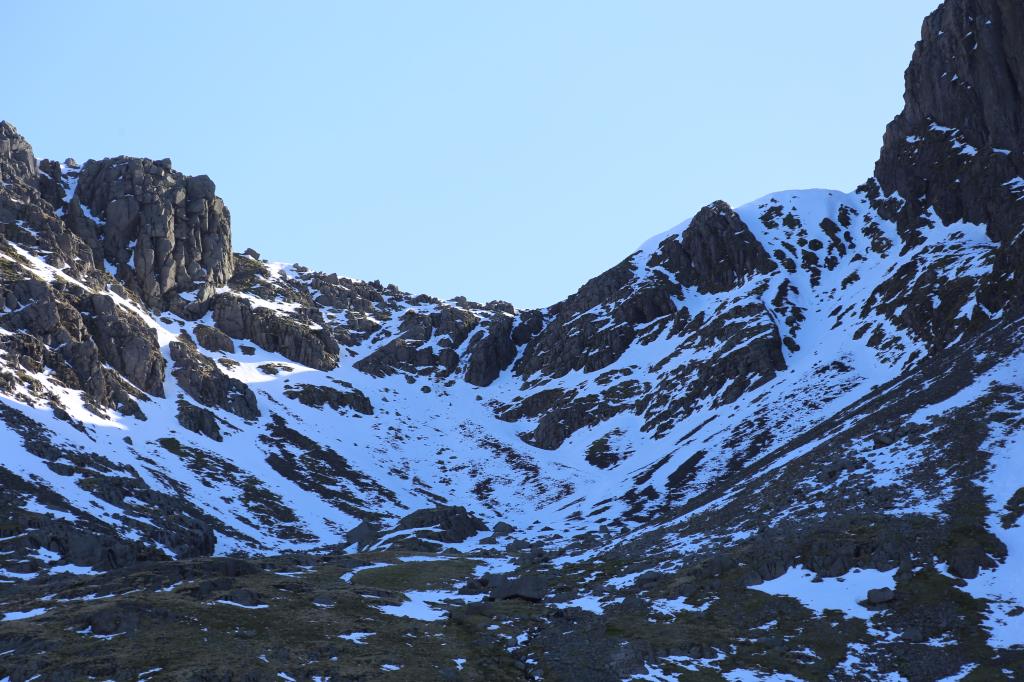
Consolidated hard snow above, Lingmell Col to summit.
Time
Length: 10.4km approx, Height gain: 1038m approx Highest point Scafell Pike (978m) Time: 7 hrs approx
Group - Lead with 1 Person
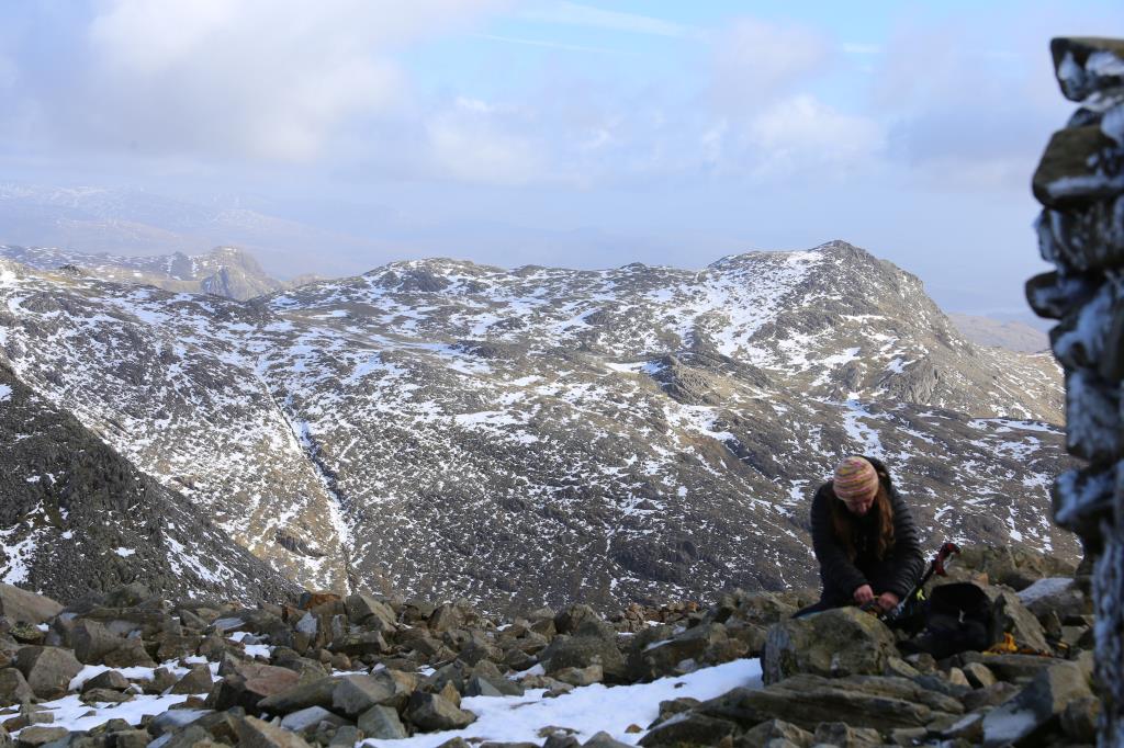
Weather conditions reported as good met up with a lone walker then group of 4 looking for directions to Scafell Pike Summit, I advised on directions and conditions.
The group went on ahead then waited again for directions at divide in path at Hollowstones to Mickledore. The group was reasonably well equipped but without crampons or ice axes. In the end I shadowed the group to the summit, although slow going in snow they made the summit and then descended via same path. Left group at Lingmell Col they were happy to descend themselves.
Area :
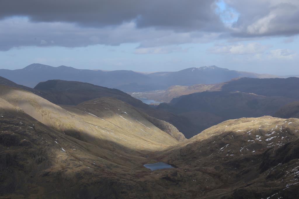
Southern Fells (Scafell Pike)
From the Esk Valley all the way across to Kendal and the M6. Includes Coniston area as far north as Little Langdale, Wrynose and Hardknott Pass.