Parked at Cattle grids and sheep folds by Quarry and view point at Moel Fre Mine.
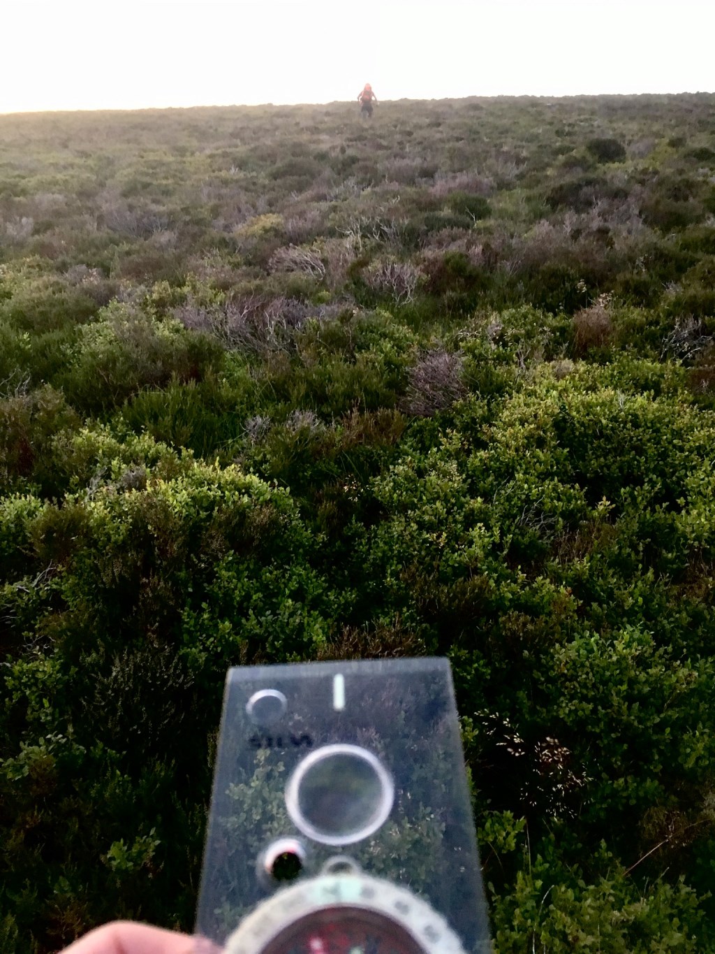
Walked up gated to road towards farm Twllant then cut across to base of Foel Wen all through armpit deep grass and followed the river up Cwm Nantol to Farm at head of valley Maes y garnedd, climbed into re entrant at nant col, watched sunset and used bearing to navigate in darkness to Gloyw lyn (Dildo Lake).
Pitched on East side of Lyn
Area :
Rhinogydd
The Rhinogydd (a Welsh plural form, often anglicised as Rhinogs and also known by the alternative Welsh plural Rhinogau) are a range of mountains located east of Harlech in North Wales. The name Rhinogydd derives from the names of two of the more famous peaks, Rhinog Fawr and Rhinog Fach, although the greatest elevation in the range is reached by Y Llethr, 756 m.