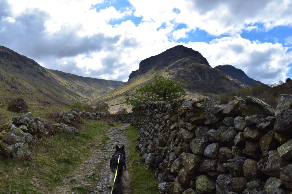
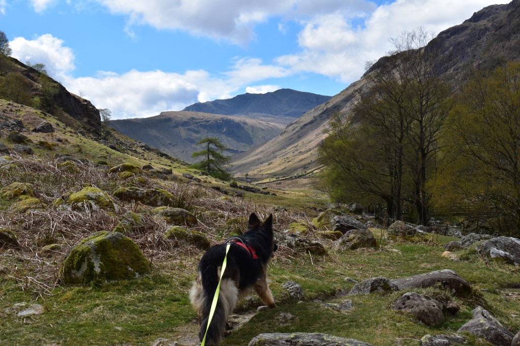
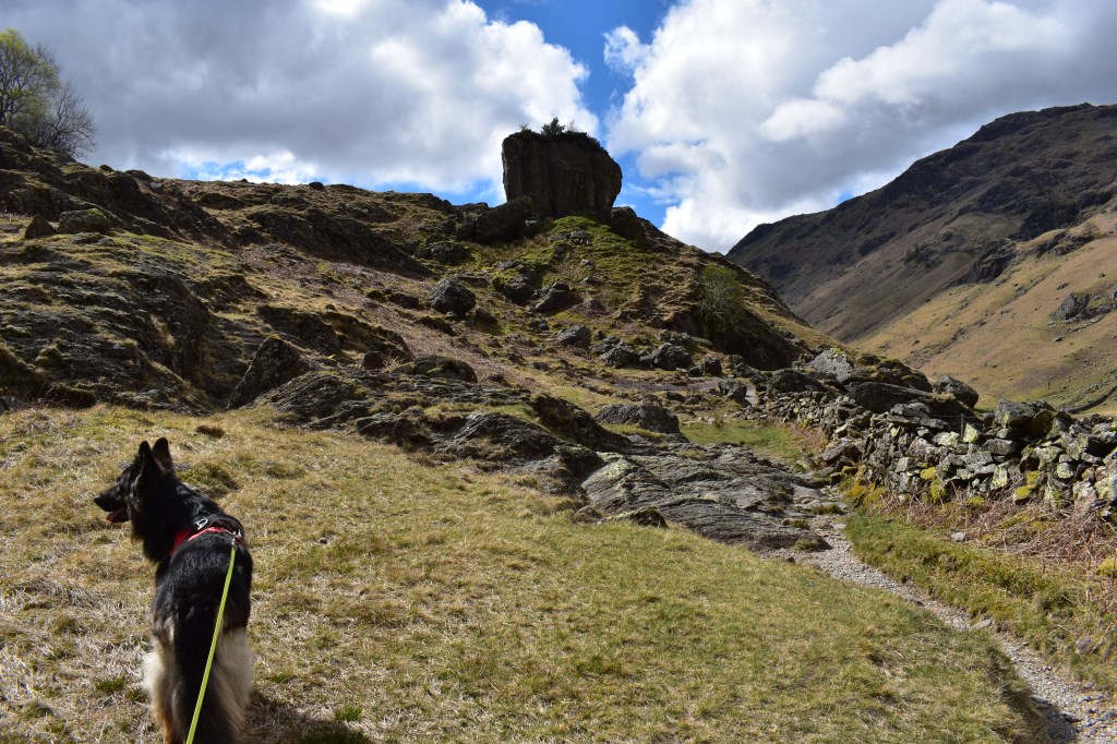
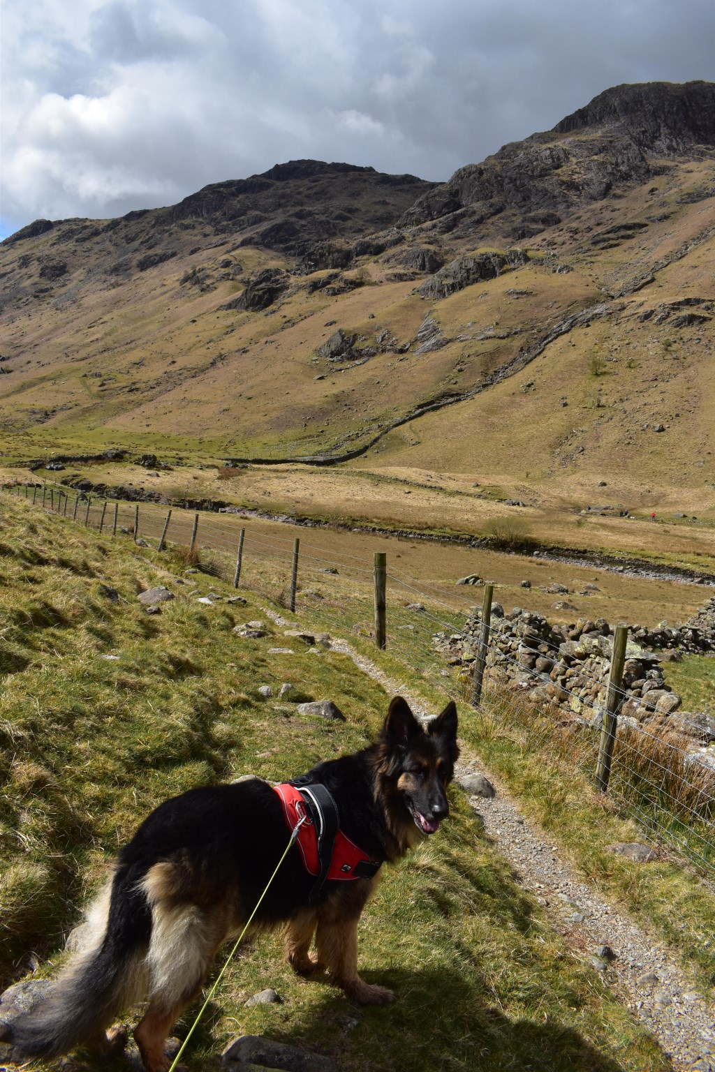
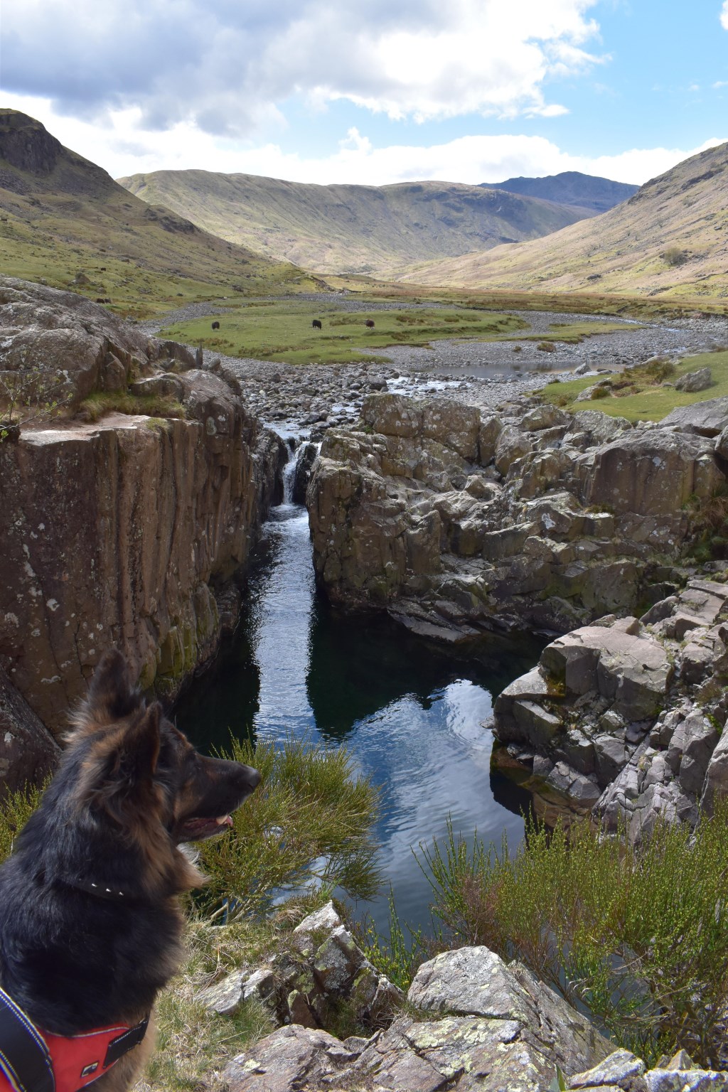
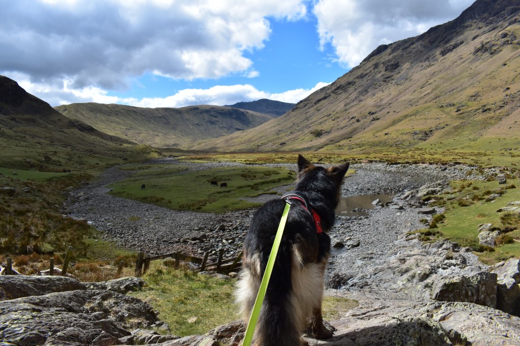
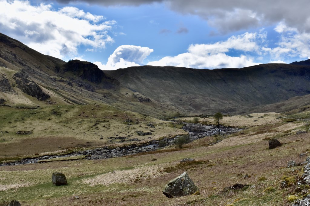
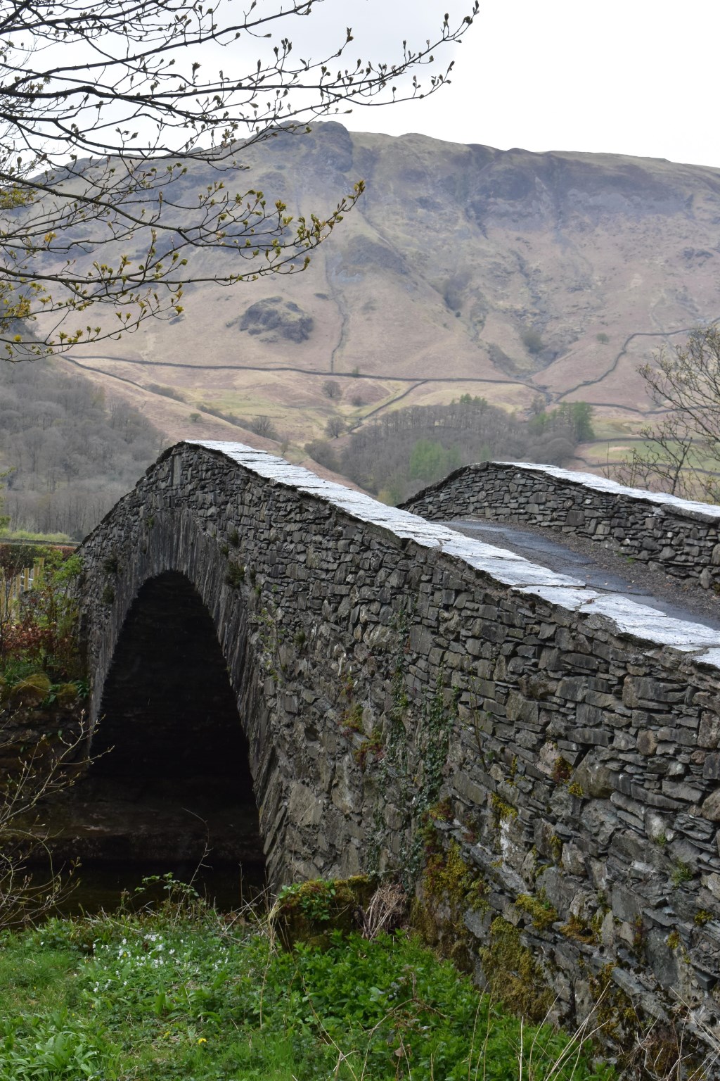
First Lakeland trip out with the dog and after recently having my Covid jab I had suffered a lot of side effects and wasn't feeling as energetic as I was before I had it, so I decided to stay low and try a new walk to Langstrath. We started from Rosthwaite National Trust car park and followed the Bridleway beneath Stonethwaite Fell to Smithymire Island where we turned South and followed the Cumbria Way to Blackmoss Pot. We crossed the river here and followed the path North on the opposite side. The weather clouded over and we had a hailstone shower. We returned to the Cumbria Way at Stonethwaite Bridge and followed this back to the car.
Area :
Central Fells
The Vale of Keswick, provides separation from the Northern Fells whilst to the west runs the long valley of Borrowdale. The parallel eastern boundary is created by Thirlmere and the St Johns in the Vale. Grasmere to Windermere forms the remainder of the eastern boundary. In the west, Stake Pass descends into Great Langdale.