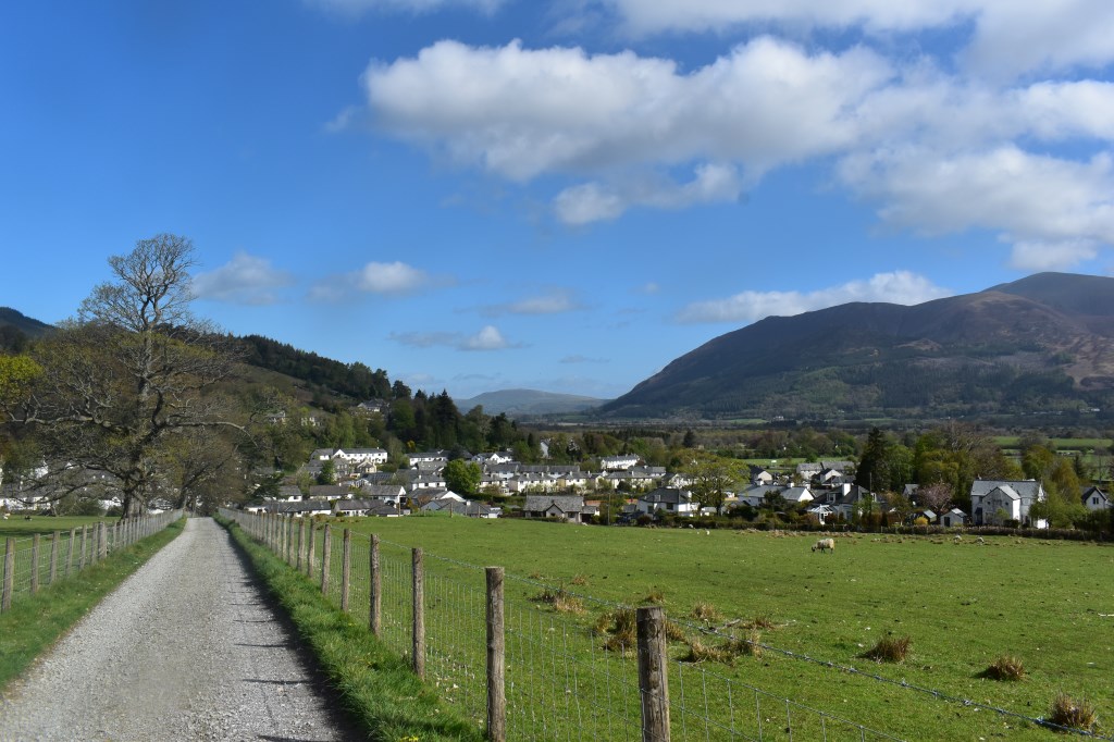
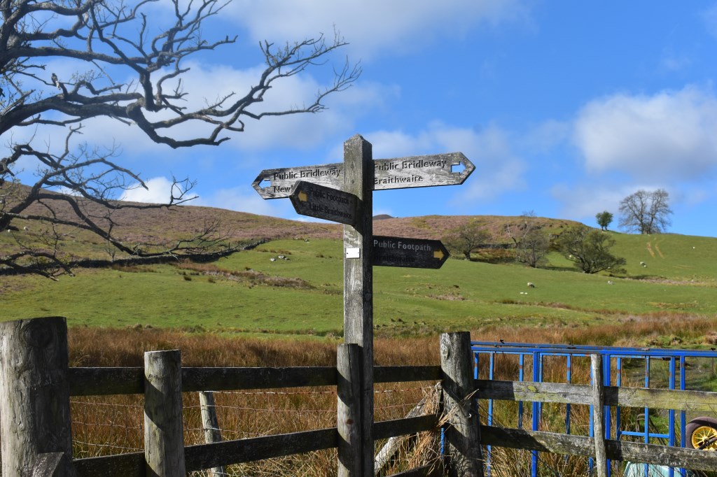
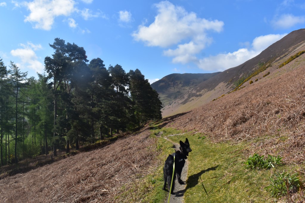
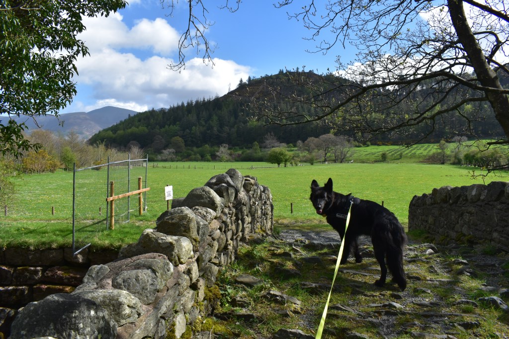
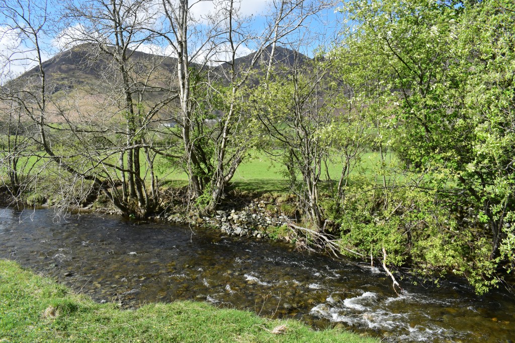
Another low level walk with the dog, this time from Braithwaite, up the bridleway to Braithwaite Lodge and down to Uzzicar where we turned left and walked along the lanes to the river. We planned to turn left here but the path has been closed due to severe erosion. I chose a new route turning right and up to Swinside before following the road to the North to rejoin our original planned route at Little Braithwaite, through the campsite back to the village.
Area :
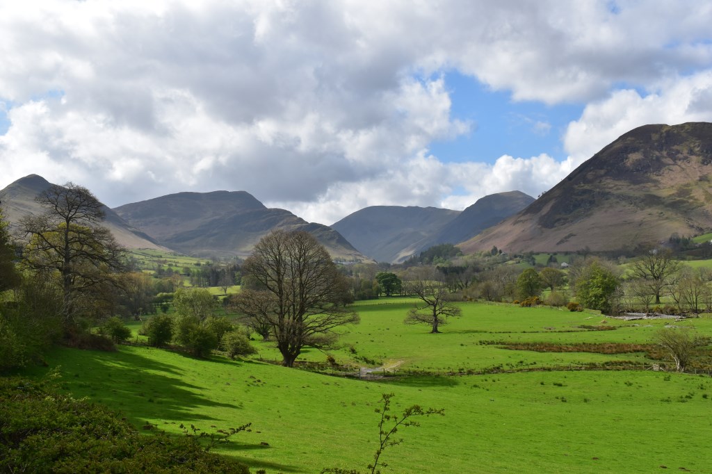
North Western Fells
Essentially this area is encompassed by Lakes of Bassenthwaite, Derwent Water, Buttermere and Crummock Water with the southern boundary being the Honister Pass