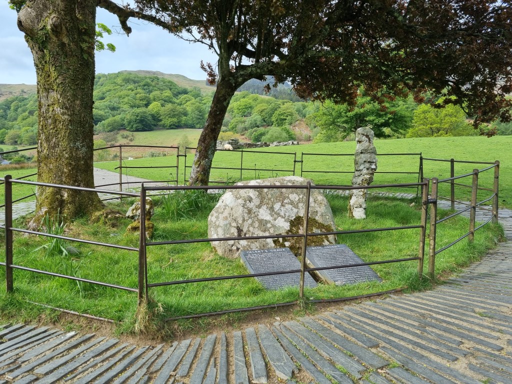
Moel Ogof (655m) and Moel Lefn (638m). Started from Beddgelert parking at the Welsh Highland Railway Station. At started walked to find Gelert's Grave. A wonderful story to tell any potential group being led from Beddgelert. A classic tale, probably myth/legend, as it is a common story told across cultures around the world.
From internet: Beddgelert (Grave of Gelert) is one of Snowdonia's prettiest villages. Gelert was a faithful dog of Llywelyn the Great (1172-1240), Prince of Gwynedd. Prince Llywelyn returned home one day to find his infant son missing from his crib, which was smeared with blood, as was Gelert. Llyweln killed Gelert in the heat of the moment. He then heard the baby's cries and saw the dead wolf and realized his terrible mistake. Gelert had actually save his son and killed the wolf. A remorseful prince buried the dog at a shady spot now marked by a stone monument.
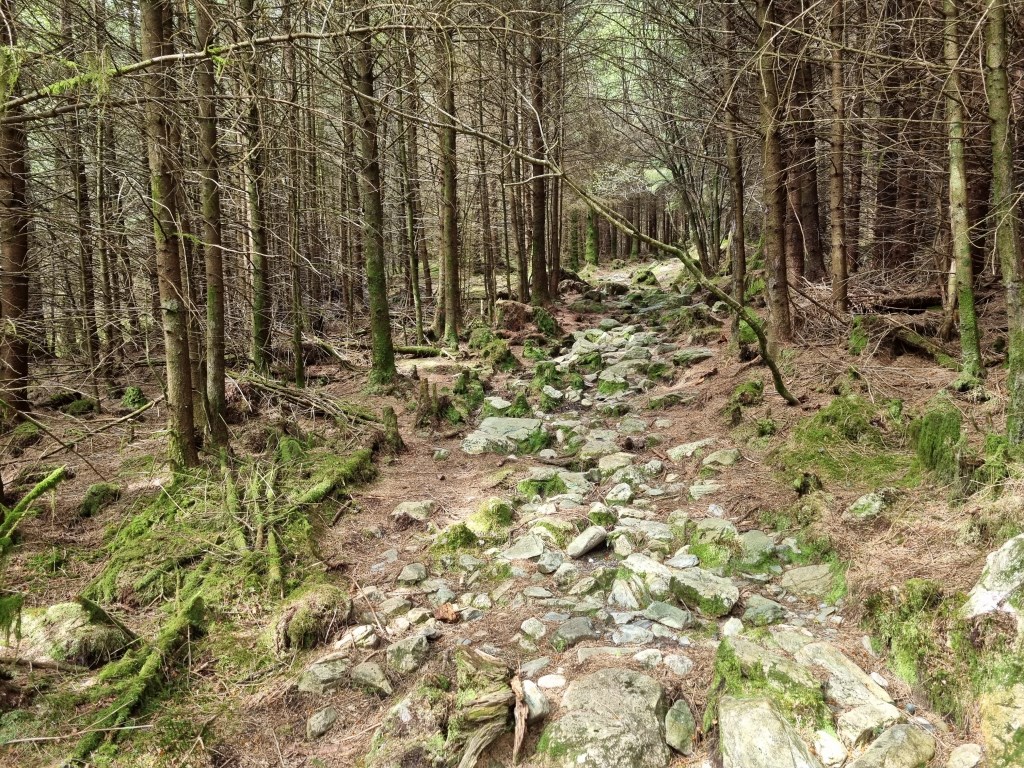
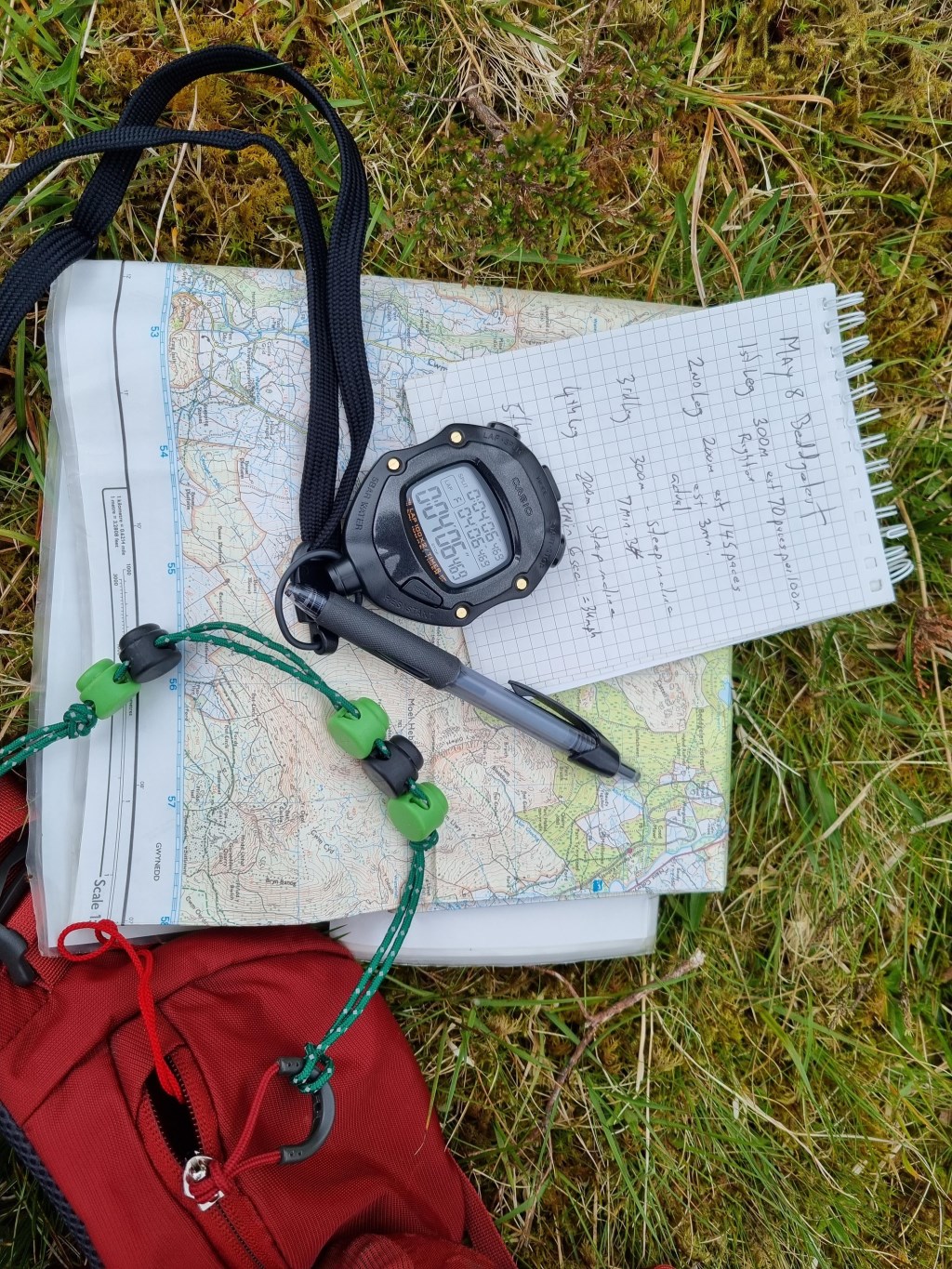
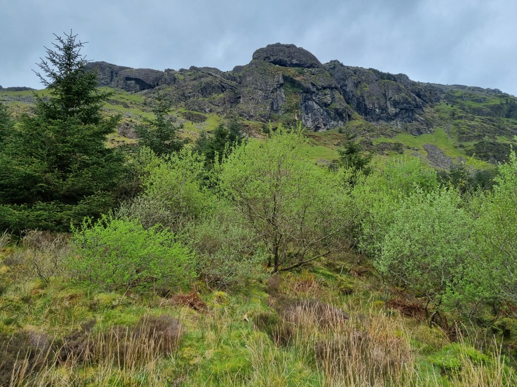
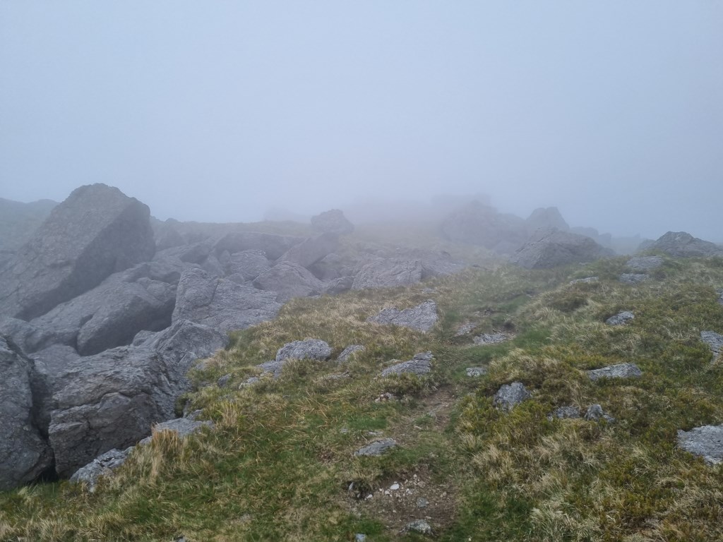
From Gelert's grave, walked back to the rail station and north into Beddgelert Forest. The focus of this walk was timing and pacing set distances to add data to understand how elevation gain, and different terrain effect timing and pacing. The forest trails were very rocky, steep, covered with damp and rotting root systems and occasionally marshy. Timing worked much better than pacing over this terrain. Actually, the only terrian that pacing was consistent was along the ridgeline between the 2 summits.
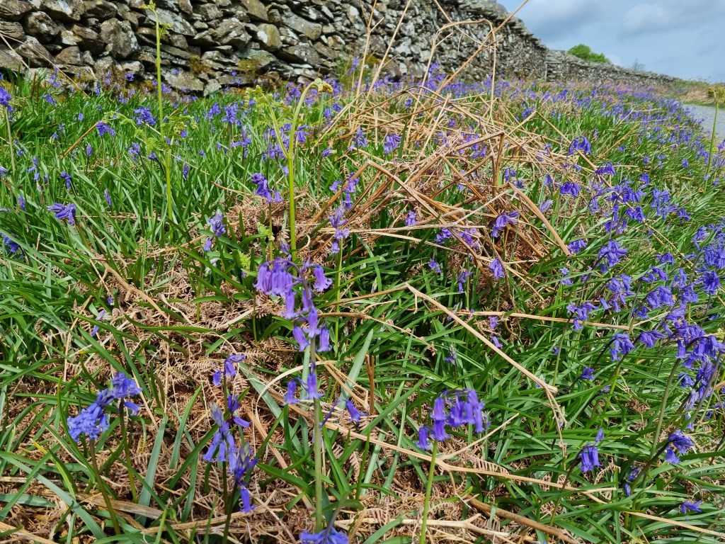
Bluebells were out in force all over the hill sides, ringing in Spring. Also saw a few Rhododendron starting to bloom. Not much else showing yet, other than some bits of gorse showing some yellow.
Total Time: 6 hours; Total Distance: 15.1km; Total Ascent: 1,556m
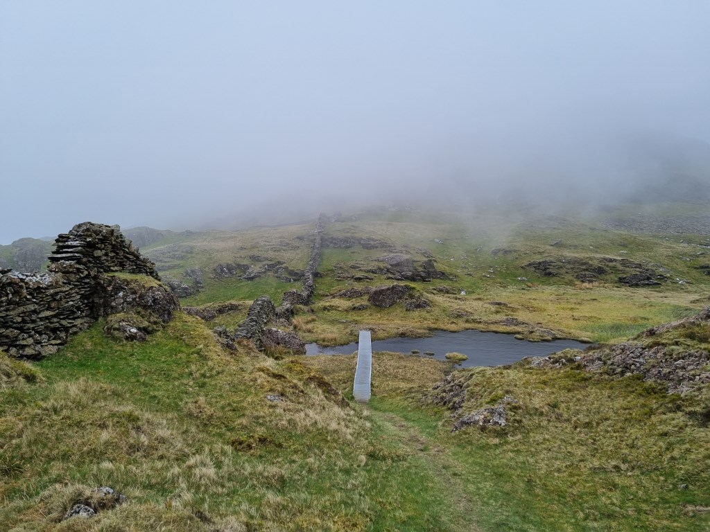
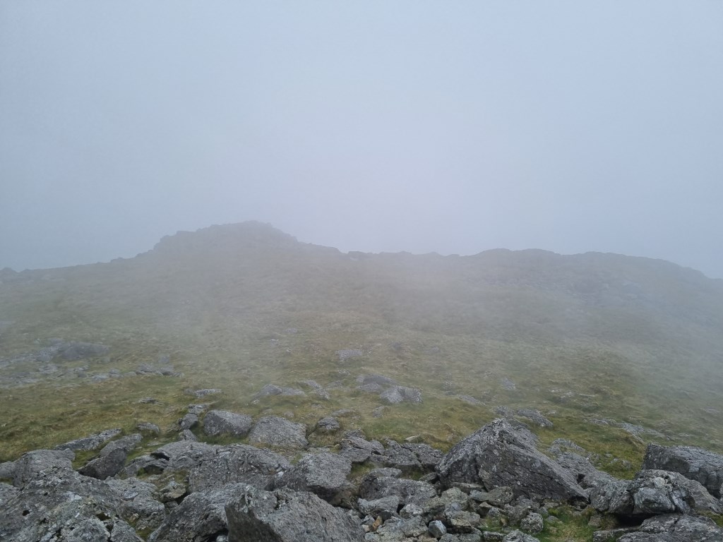
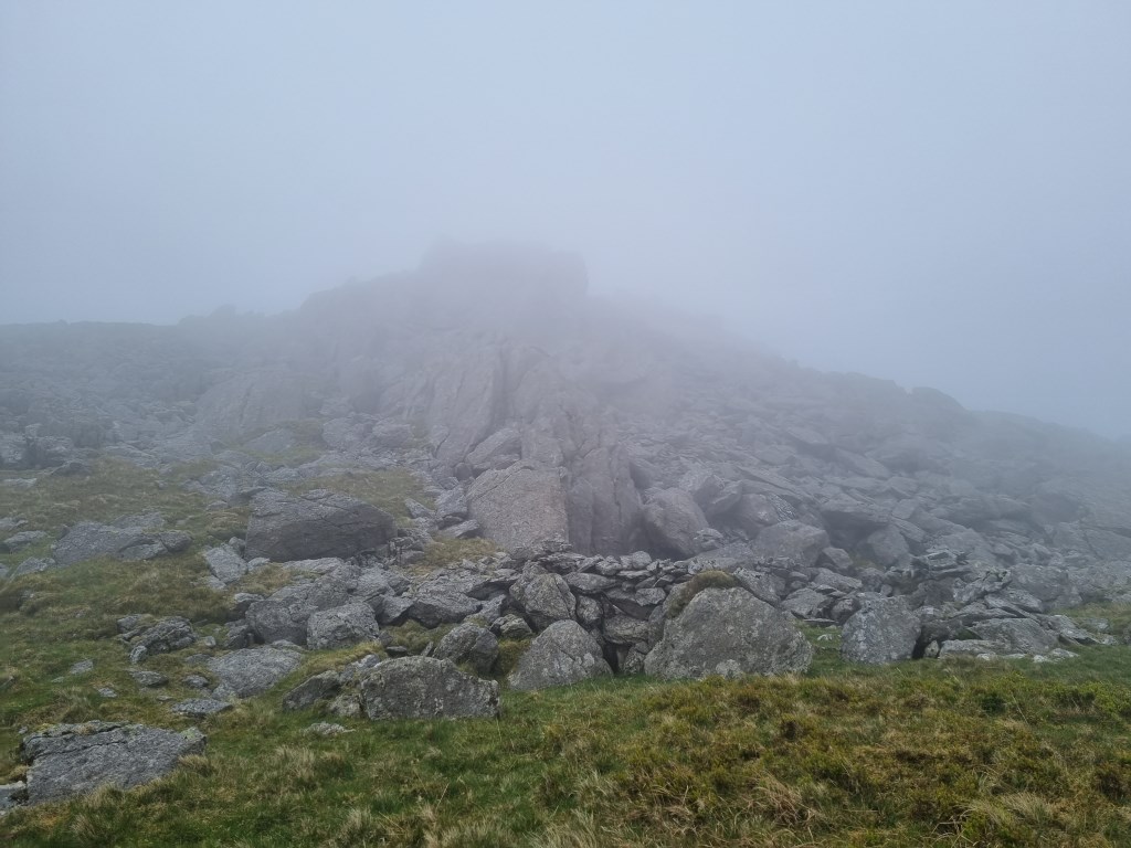
Weather: Reviewed weather forecasts from Met Office 'Specialist Forecast' for Moel Hebog. Met Office Special Forecasts specifically include Moal Hebog summit, which is very near these two Moelwyns. Also tracked MWIS forecast for Snowdonia and the regular 'Fleeting View' reports. Mild High Pressure had been predominant in the previous 3 days, which was in the process of moving off to the east today, with increasing southwesterly winds that reached gale force on the summits and the ridgeline between Moel Ogof and Moel Lefn. The weather forecast was very accurate. Rain was forecast to start at 4:00 PM. I completed the walk just before the rain, which was heavy on the drive home.
Navigation Planning: This was an entirely new area for me this week. Started exploration of the Moelwynians earlier in the past week with a walk up Moel Hebog. Planed all 3 summits with the OS LandRanger 115 1:50,000 map to select the general routes, then used the OS Maps App on my computer to assess and plan the detailed routes. Printed and laminated the route maps at A4 size for the journey. Carried an OS Explorer OL17 1:25000 map as backup. Both walks started from Beddgelert.
Safety and Risk: I carried my First Aid Kit, Blizzard Bag blanket, and a Summit 4 person emergency shelter, as well as as my Garmin InReach Mini, with a 'Professional' level subscription. I also left a copy of the route plan at home with my wife. The ground (rock) under foot was mostly dry, there was a lot of loose rock to scramble over at times near the summits, and a regular steep angle of approach. Care and attention to footing was important. Weather was mild in the valley, with gale force winds on the summits and the ridgeline between Moal Oglof and Moae Lefn. Risk was assessed as Low.
Area :
Nantlle & Hebog
The Nantlle Ridge is the name given to a small range of mountains in Snowdonia, north Wales which runs south-west from the village of Rhyd Ddu for a distance of about 9 km (6 mi), ending above Talysarn and Nebo in the Nantlle Valley.