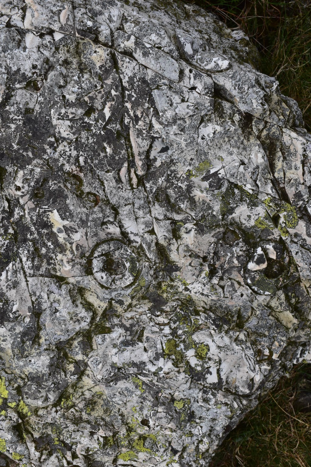
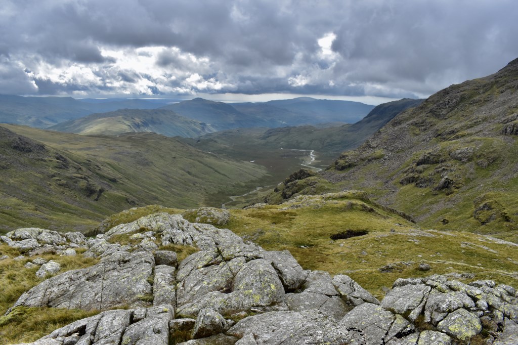
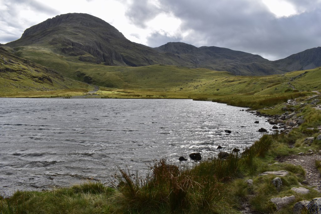
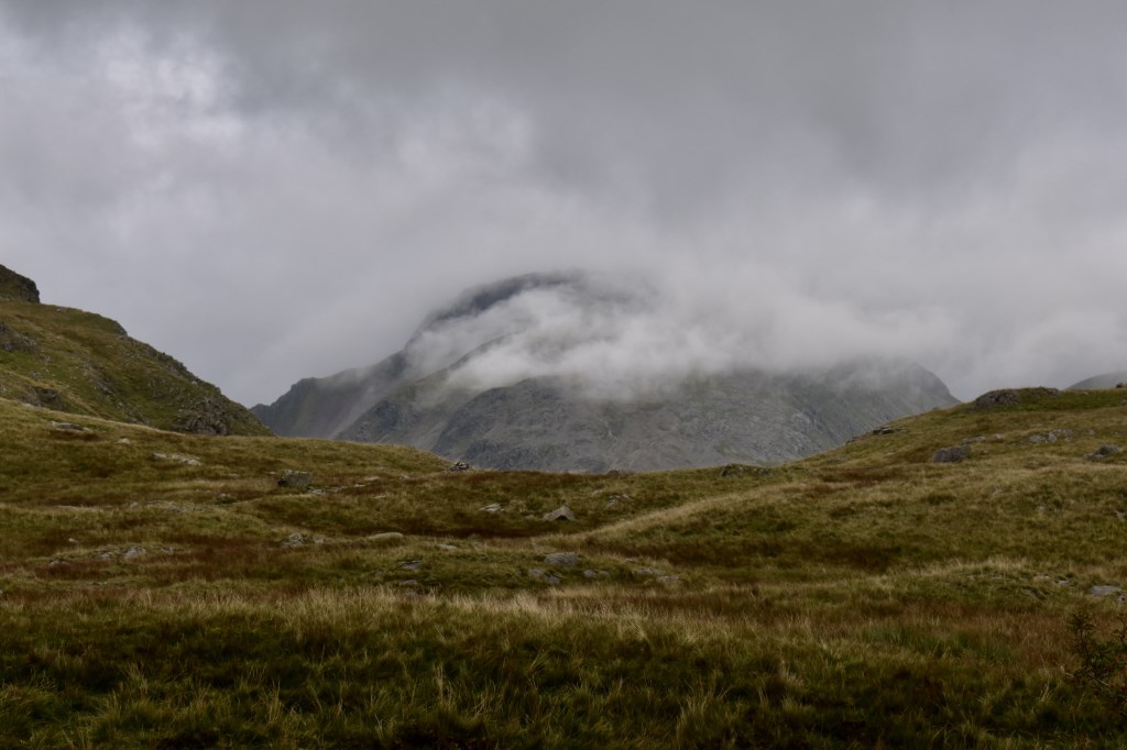
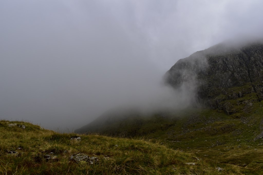
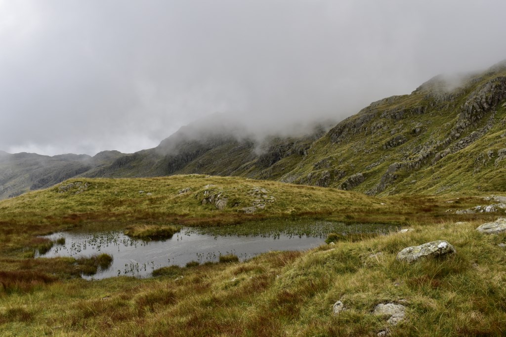
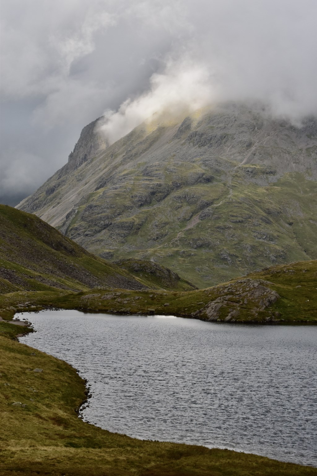
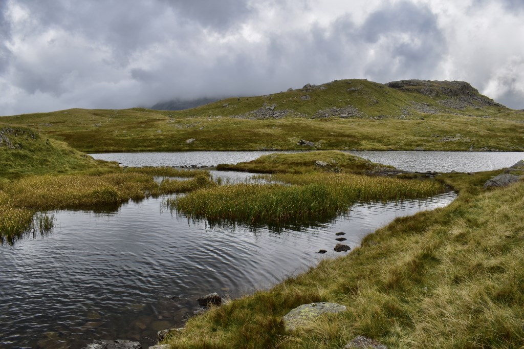
A windy day with fast-moving, low clouds obscuring the summits down to around 700m for most of the morning. (I ticked the showers button because of the mixed visibility, however the day remained remarkably dry despite the conditions). We walked from Seathwaite up to Stockley Bridge then ascended via Grains Gill to Esk Pike, where there was almost zero visibility. It was very blustery on the summit. We descended to Seathwaite Fell where it was much more sheltered, and practised navigation. By the time we returned to Sprinkling Tarn the cloud had lifted, so we headed back up to Tongue to look at the views which we were not able to see before. We saw some volcanic rock which appeared to have molten 'splashes' which was an interesting find! From here we descended to Sprinkling Tarn, Styhead Tarn and returned to Seathwaite via Styhead Gill, Greenhow Knott. A great day!
Area :
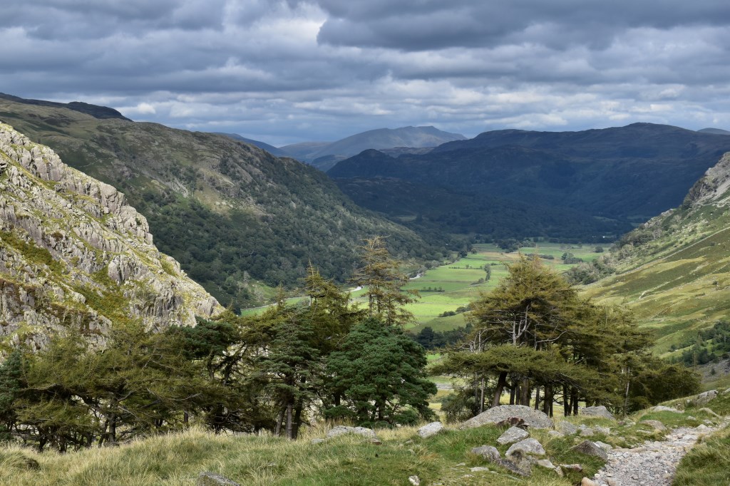
Central Fells
The Vale of Keswick, provides separation from the Northern Fells whilst to the west runs the long valley of Borrowdale. The parallel eastern boundary is created by Thirlmere and the St Johns in the Vale. Grasmere to Windermere forms the remainder of the eastern boundary. In the west, Stake Pass descends into Great Langdale.