Robin Shaw - 108161

logs 311

Awards Completed

RCI ML
Member Of

International Trekking Record

Details

Date : 29/06/2022

Duration : 5-8 hours

Style : Group Member

Type : International Summer Quality Mountain Day

Weather : Partially cloudy

Wind : No wind

Camping Type : Cabin/Hut

Nights Camping :

Mountains :

Flagged :

Description

Automatically created from a GPX file - TMB Day 6 Courmayeur to Les Chapieux 23k .gpx

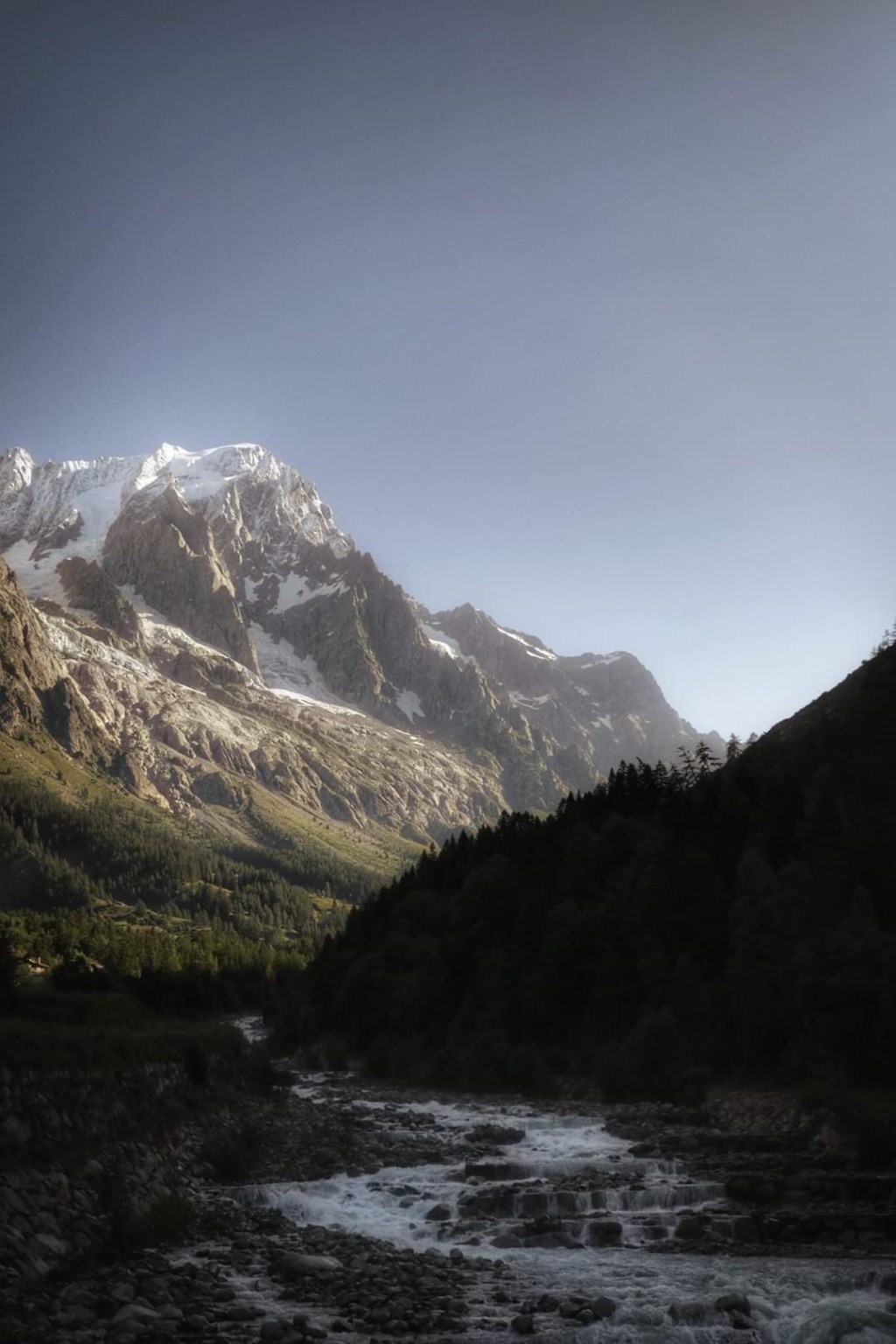
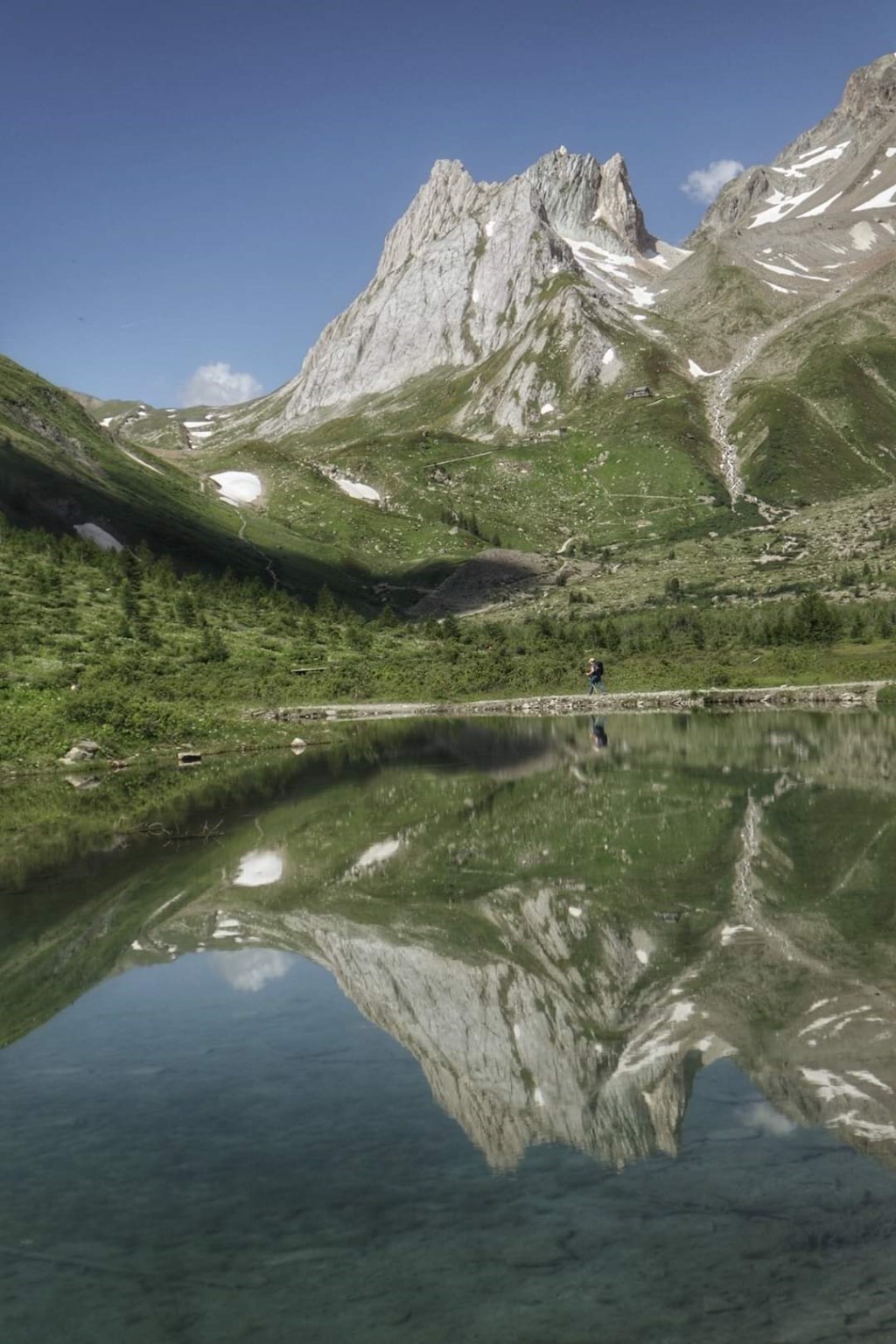
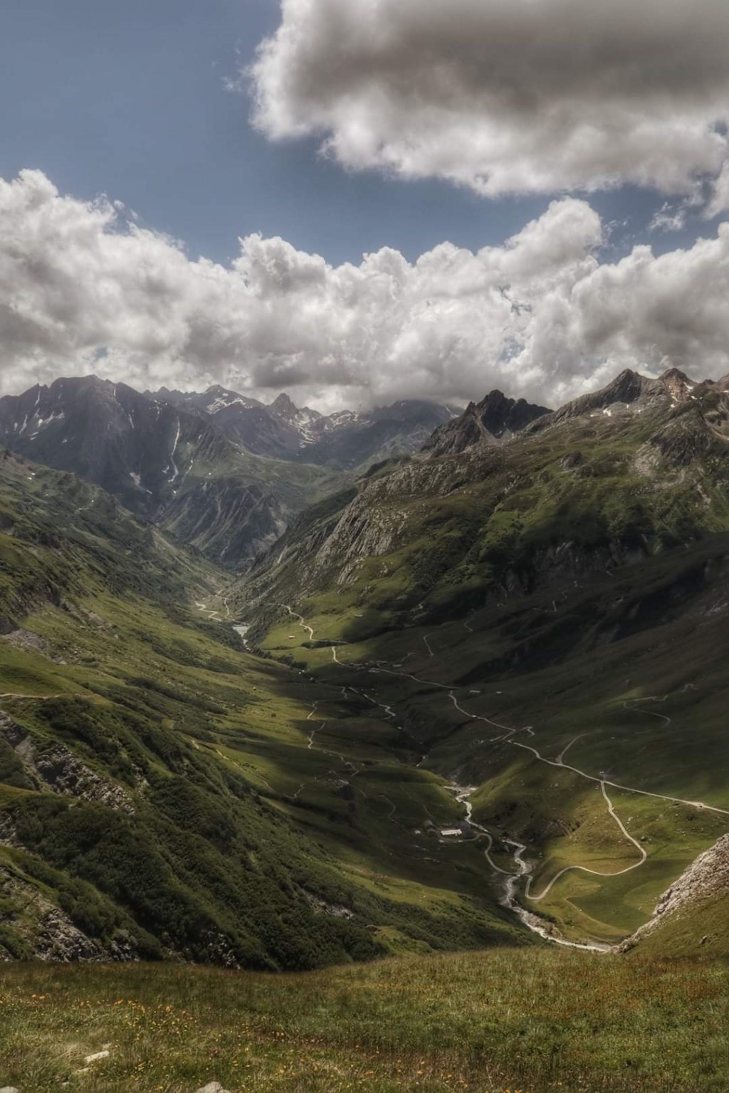
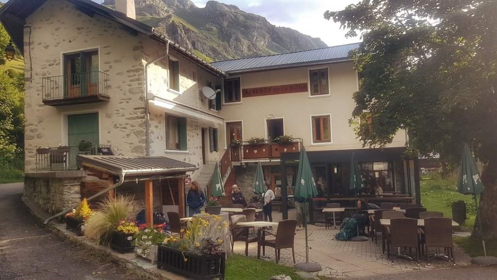
Day 6 TMB The steeper south face of Mont Blanc pristine in the morning light. Next high pass the Col de la Seigne, marks the border between Italy and France. Massive long descent to Les Chapieux, staying at Auberge Refuge Nova, cracking spot and good food.
Assisting IML leader when required.

Area : Italy

Map

MarkerMarker
Leaflet Tiles © Esri — Esri, DeLorme, NAVTEQ, TomTom, Intermap, iPC, USGS, FAO, NPS, NRCAN, GeoBase, Kadaster NL, Ordnance Survey, Esri Japan, METI, Esri China (Hong Kong), and the GIS User Community
Time Taken : 08:05:45 Distance : 21.85 km Ascent : 1122.6 m Descent : -1233.2 m Avg Speed : 3.06 kmph Moving Speed : 3.06 kmph

Images

Loading