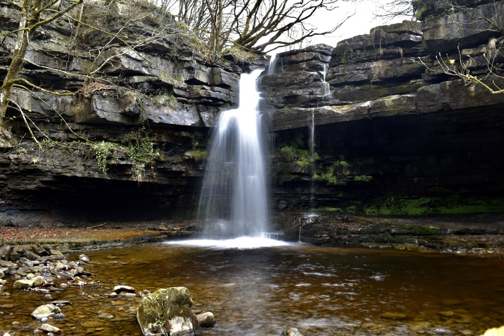
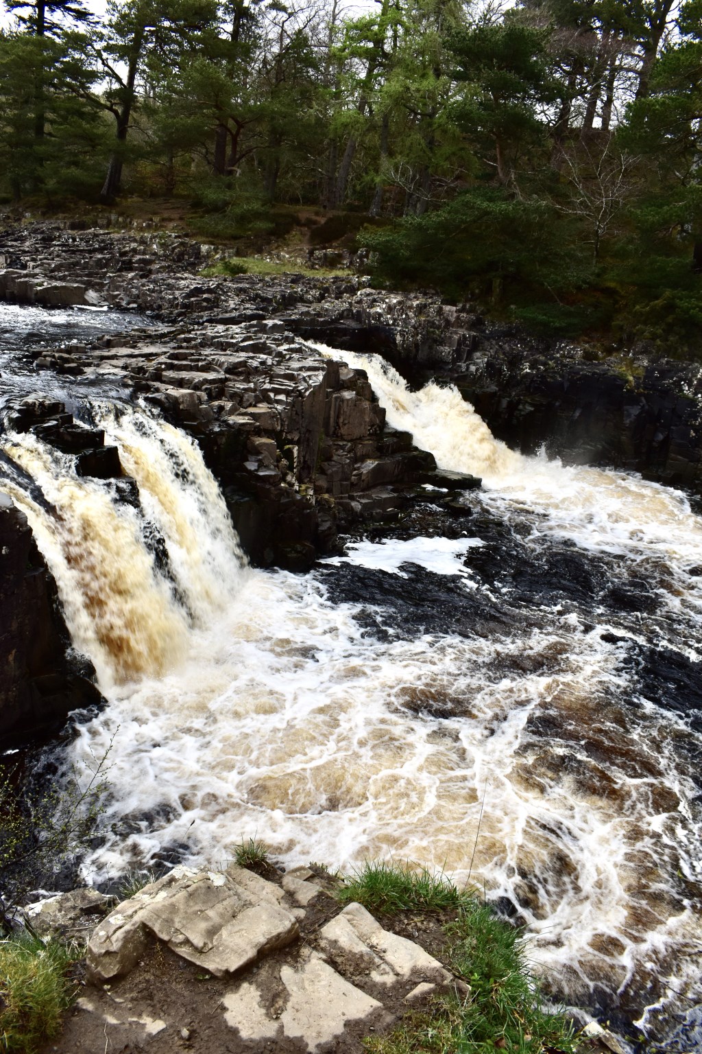
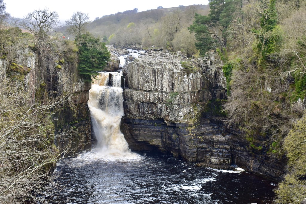
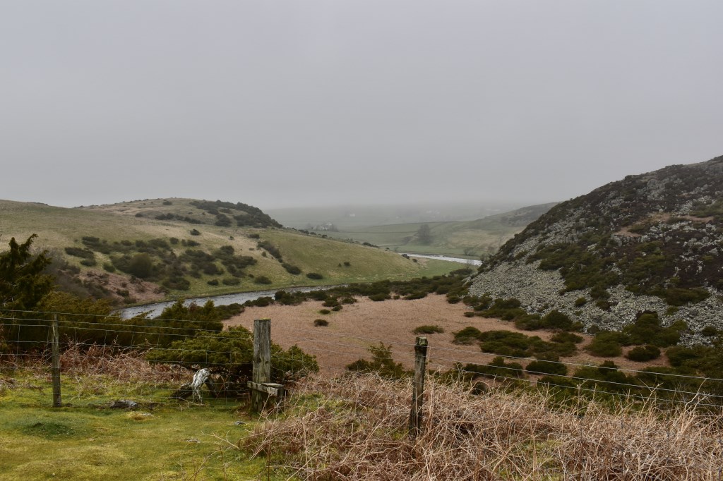
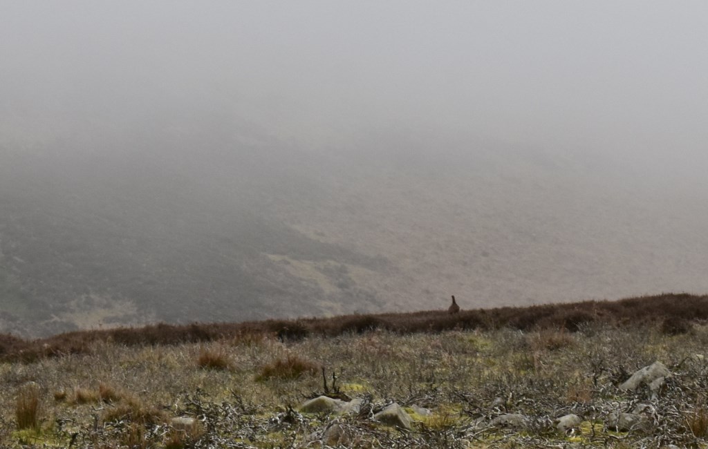
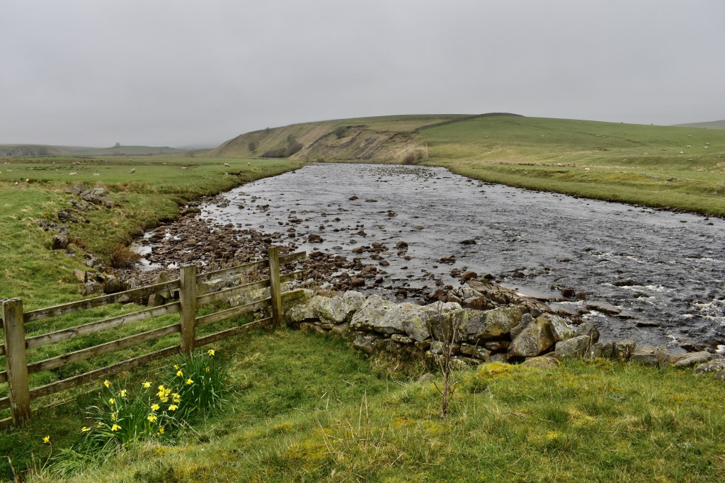
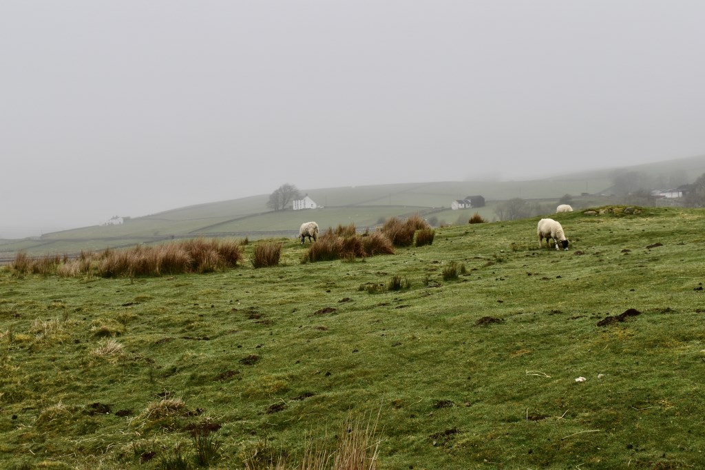
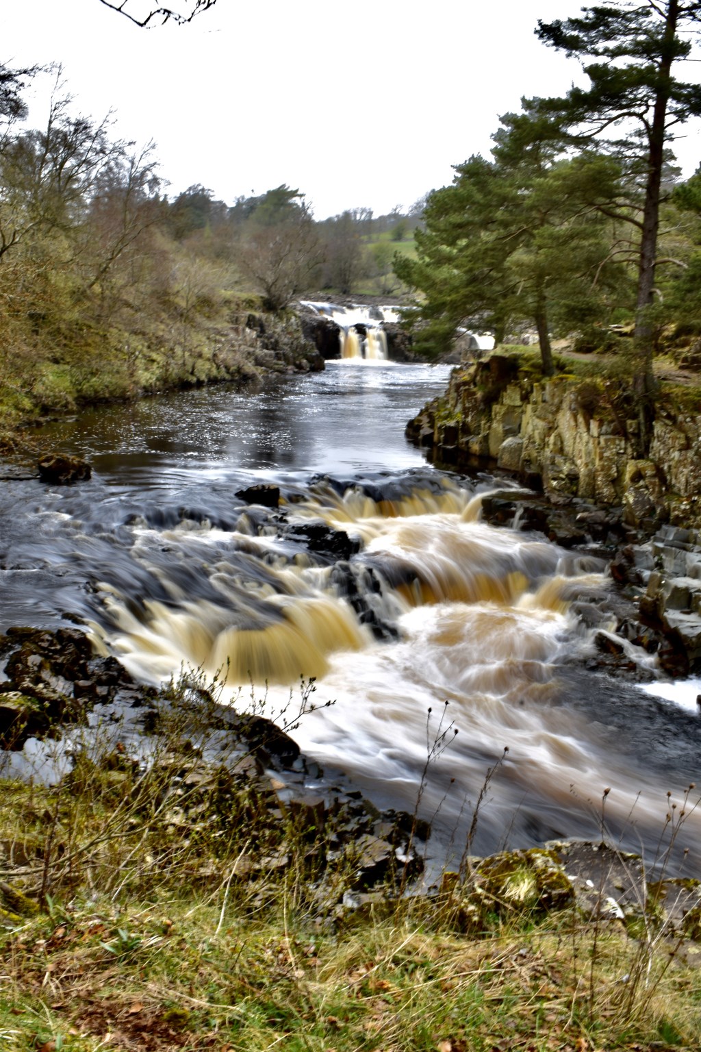
Walking with a Lowland Leader from the North East, we led a walk from Bowlees car park and explored the falls there before heading West to view Low Force, High Force and up to Fell Dike Sike. We intended to follow a bridleway to Holwick but the fog came down so for the sake of views we decided to follow the valley to the North and back via Dufton Sike to High Force and back the way we came.
Area :
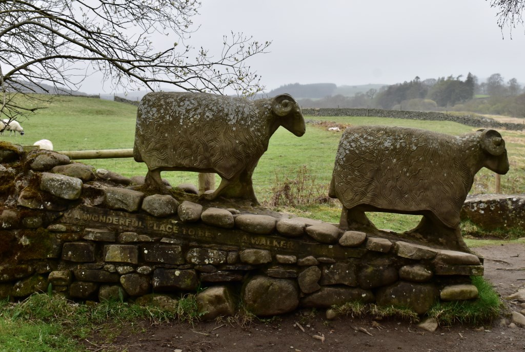
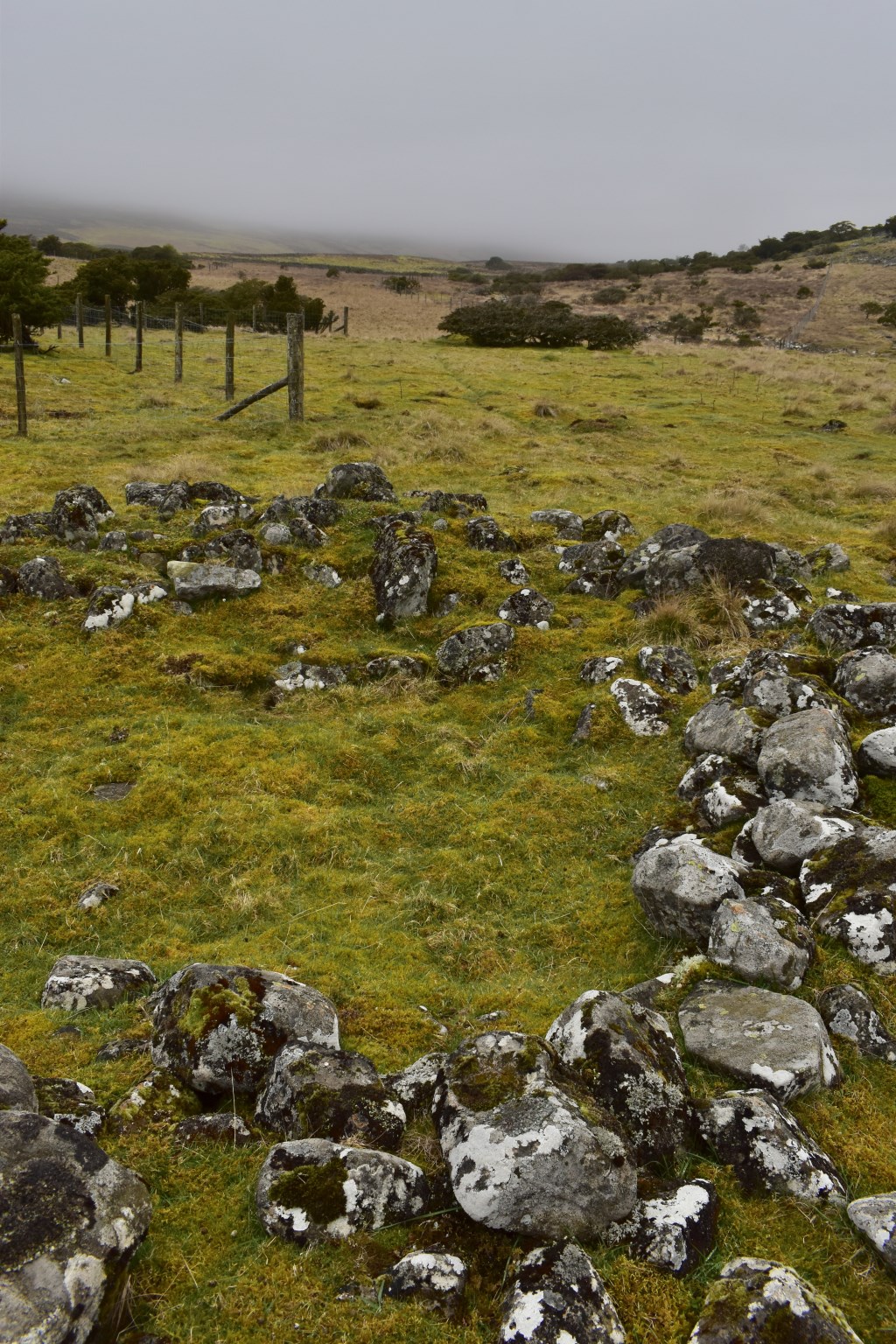
Northern Pennines
Between the A69 and the A66. The region is widely considered to be one of the most scenic areas of the United Kingdom. The North Pennines and Nidderdale are designated Areas of Outstanding Natural Beauty (AONB).