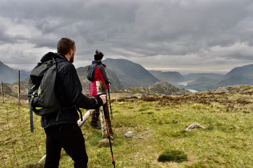
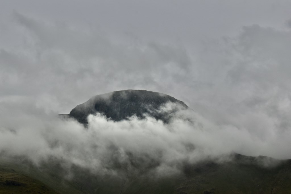
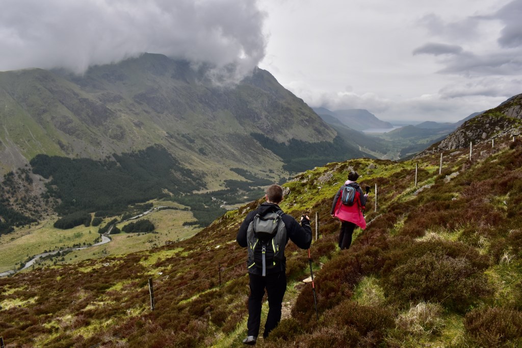
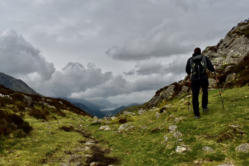
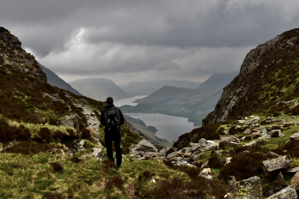
I was leading a couple, one of whom was afraid of heights but wanted to summit some mountains and hopefully overcome their fear. I decided to lead them along Brandreth, which we planned to summit but due to the cloud obscuring the summit we decided to skirt below to keep sight of the views. We then followed an interesting route to the SE of Haystacks, to summit it without sight of the cliffs. From there we proceeded to return to Honister via the 'tourist' track, we avoided the short section of path overlooking a cliff near Blackbeck Tarn, where the client was overjoyed and amazed to discover he'd been standing on the top of a cliff without even realising it! On return to Honister the clients were very happy as it was an enjoyable walk and their first visit to the area. Plus the rain held off too, always a bonus! a lovely day out with great company :)
Area :
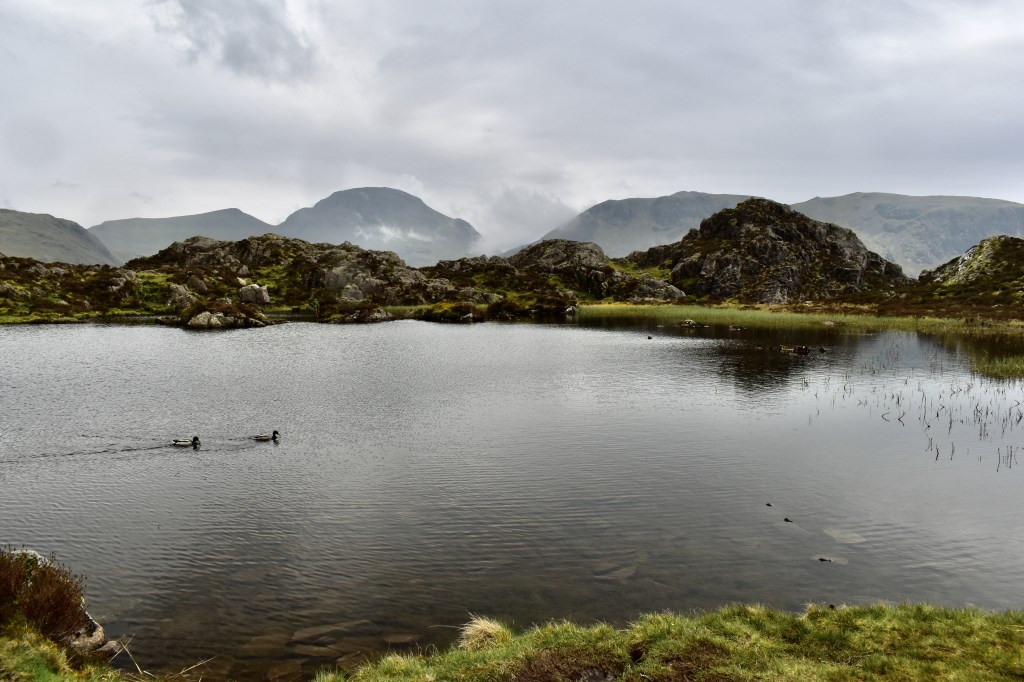
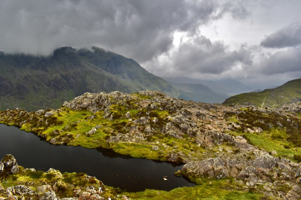
North Western Fells
Essentially this area is encompassed by Lakes of Bassenthwaite, Derwent Water, Buttermere and Crummock Water with the southern boundary being the Honister Pass