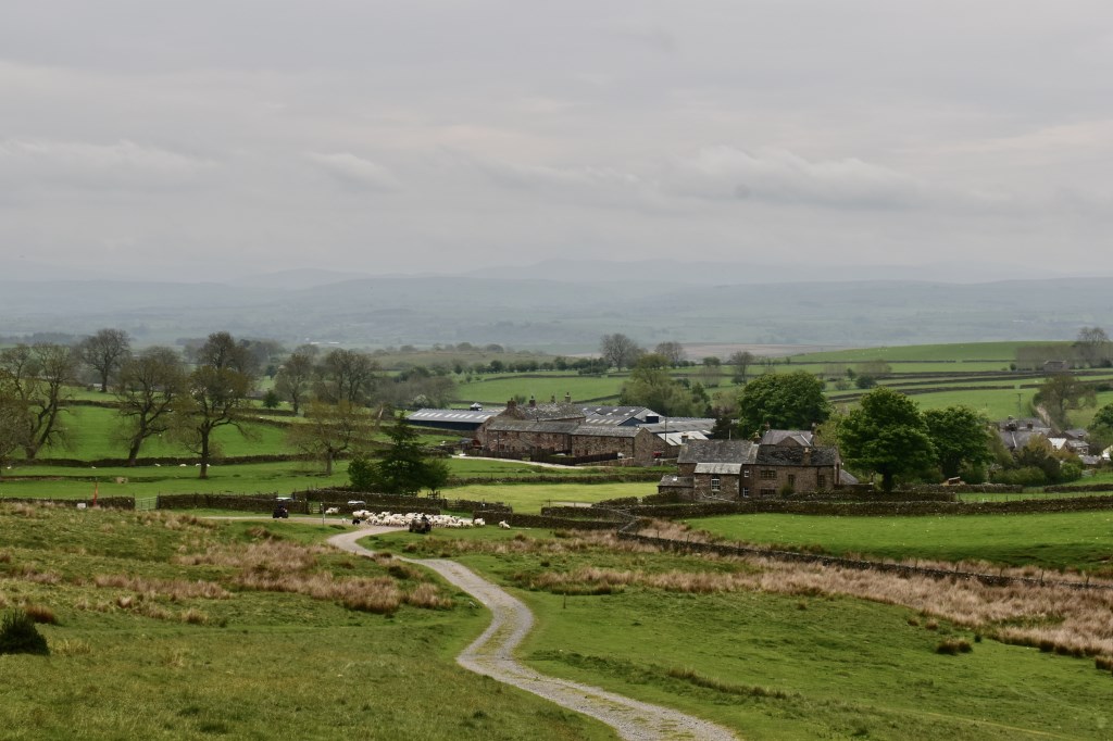
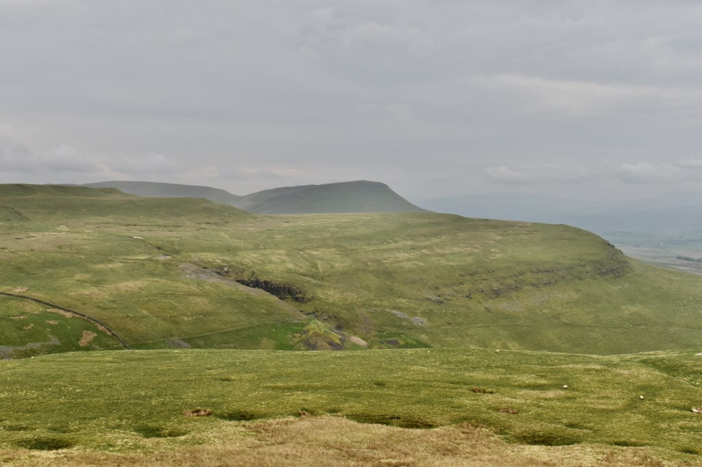
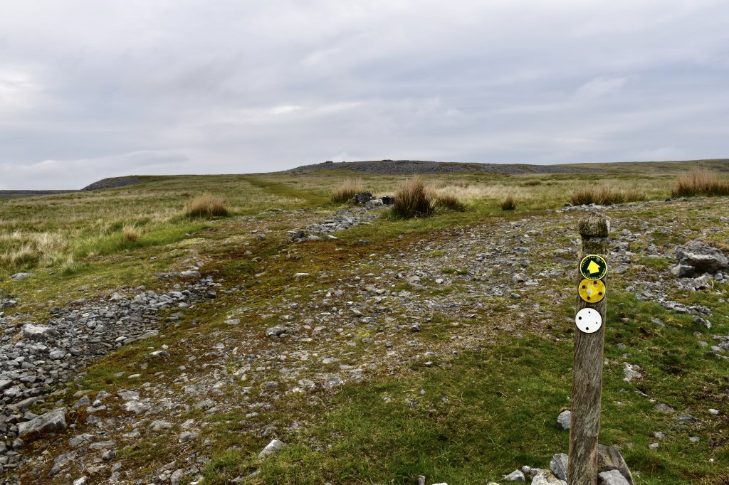
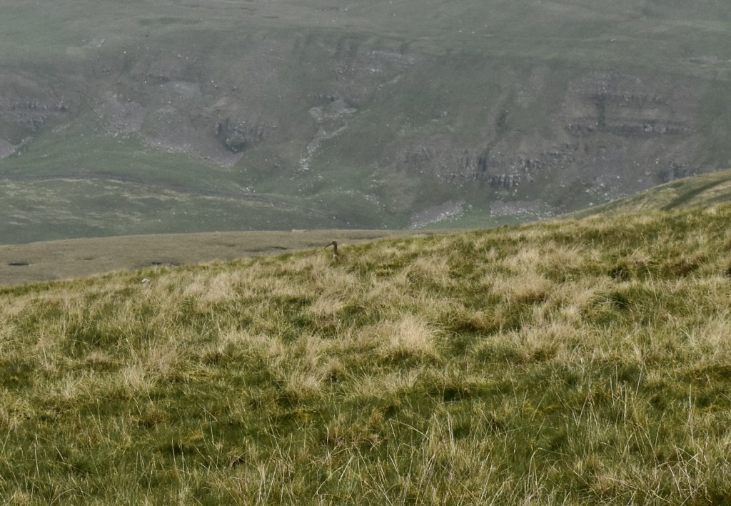
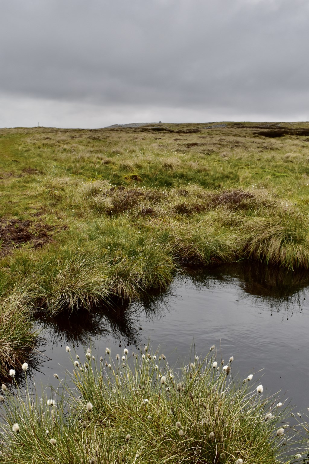
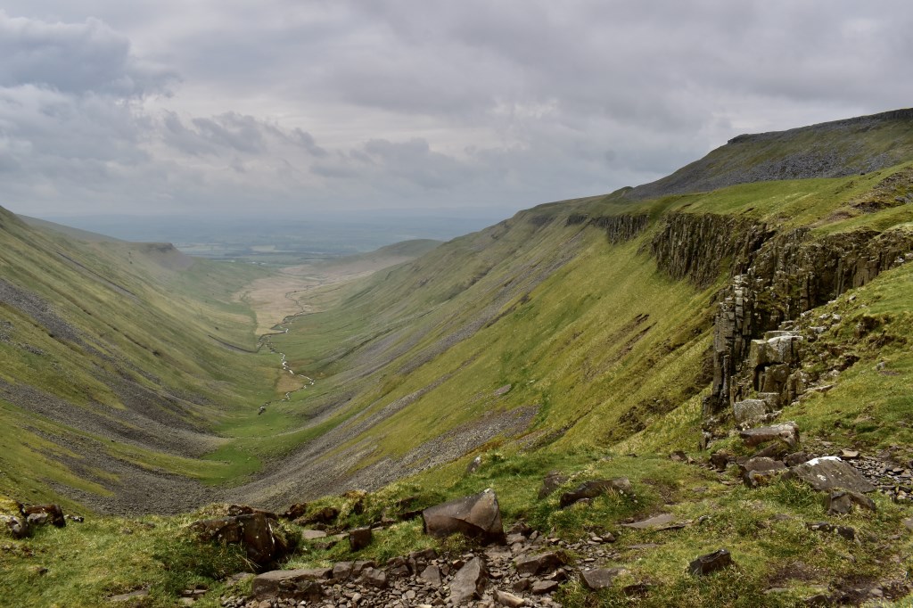
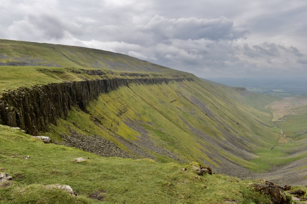
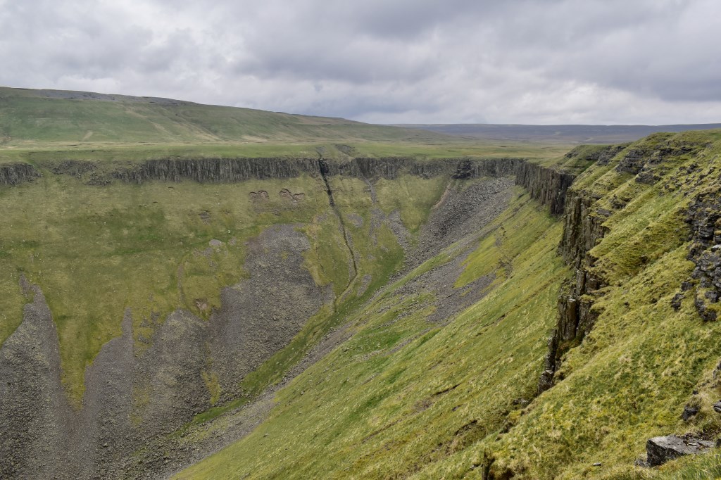
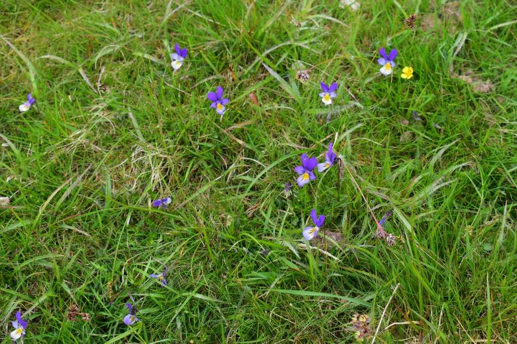
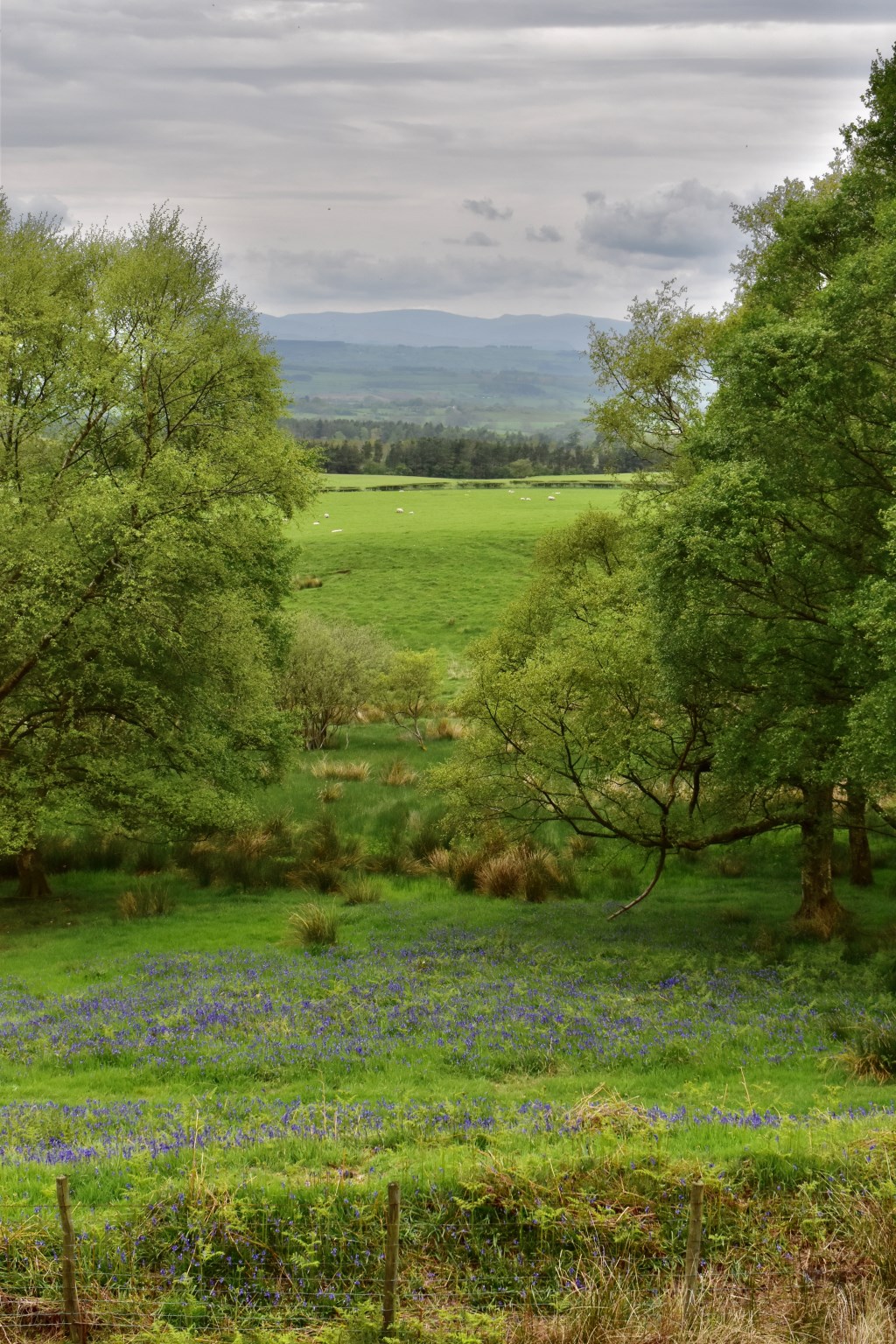
I was exploring another walk for my Misty's Mini Guides book 6 (favourite walks in Eden Valley/North Pennines. I last visited this area in 1978 with my family whilst doing the Pennine Way, aged 6, so it was a nostalgia trip as well! I headed up from Murton along the army track, with a slight detour for Murton Pike. I then headed over the moors to High Cup Nick. I returned along the edge of the cliffs then dropped down over the moorland to Trundale Gill, then skirted around the bottom of Murton Pike to return to the car park. Saw lots of interest apart from the scenery, including Mountain Hare, Buzzard, (though it looked rather large for a Buzzard), Curlew, Skylark, Wheatear, Deer, and lots of interesting flowers/grasses.
Area :
Northern Pennines
Between the A69 and the A66. The region is widely considered to be one of the most scenic areas of the United Kingdom. The North Pennines and Nidderdale are designated Areas of Outstanding Natural Beauty (AONB).