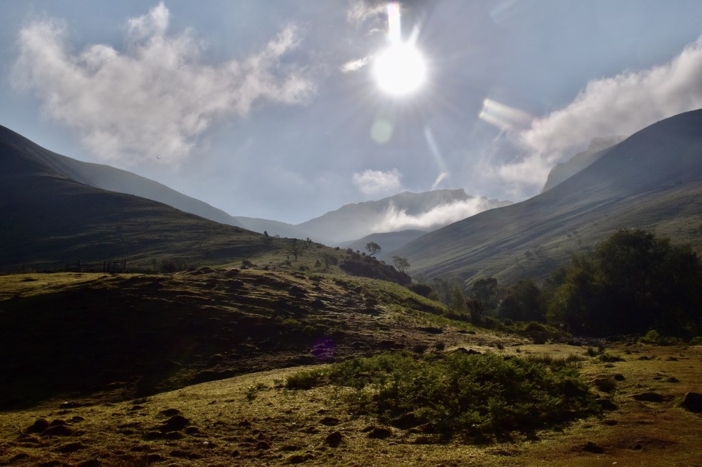
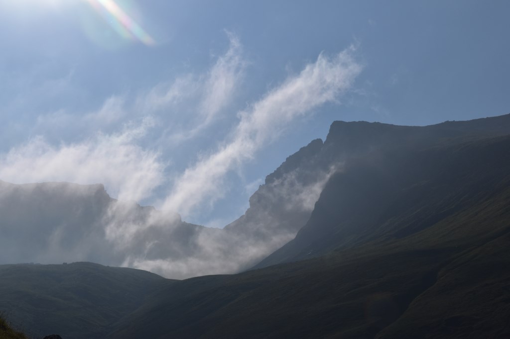
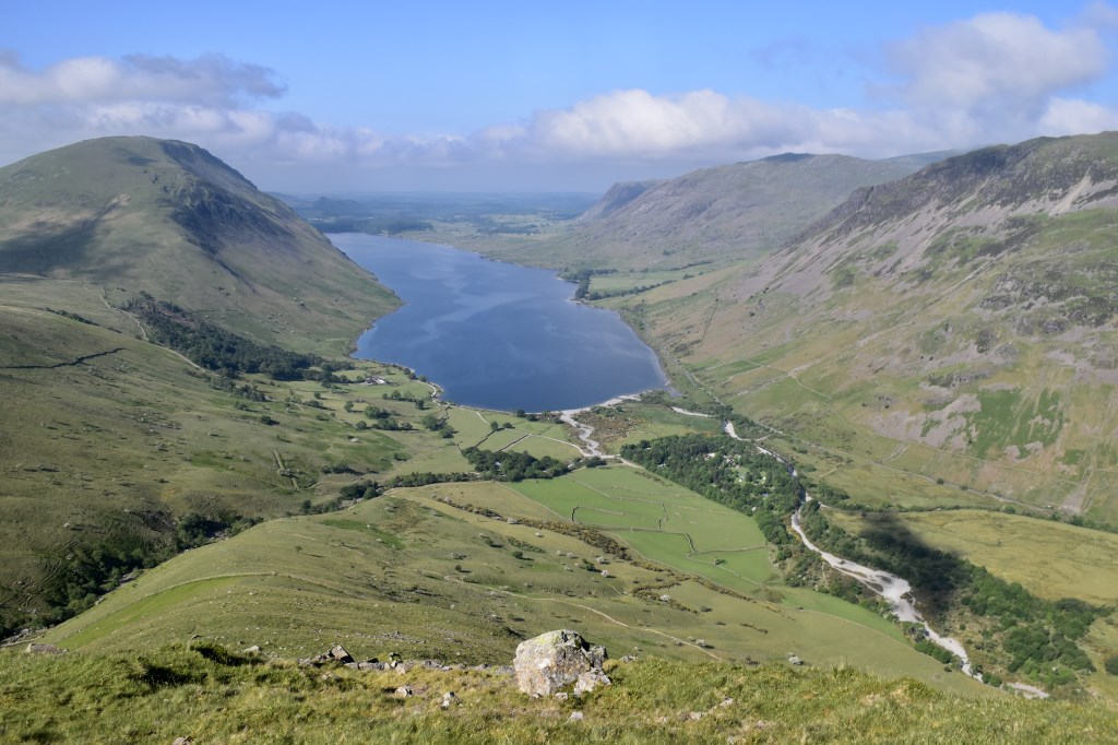
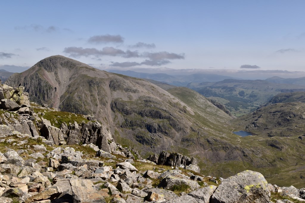
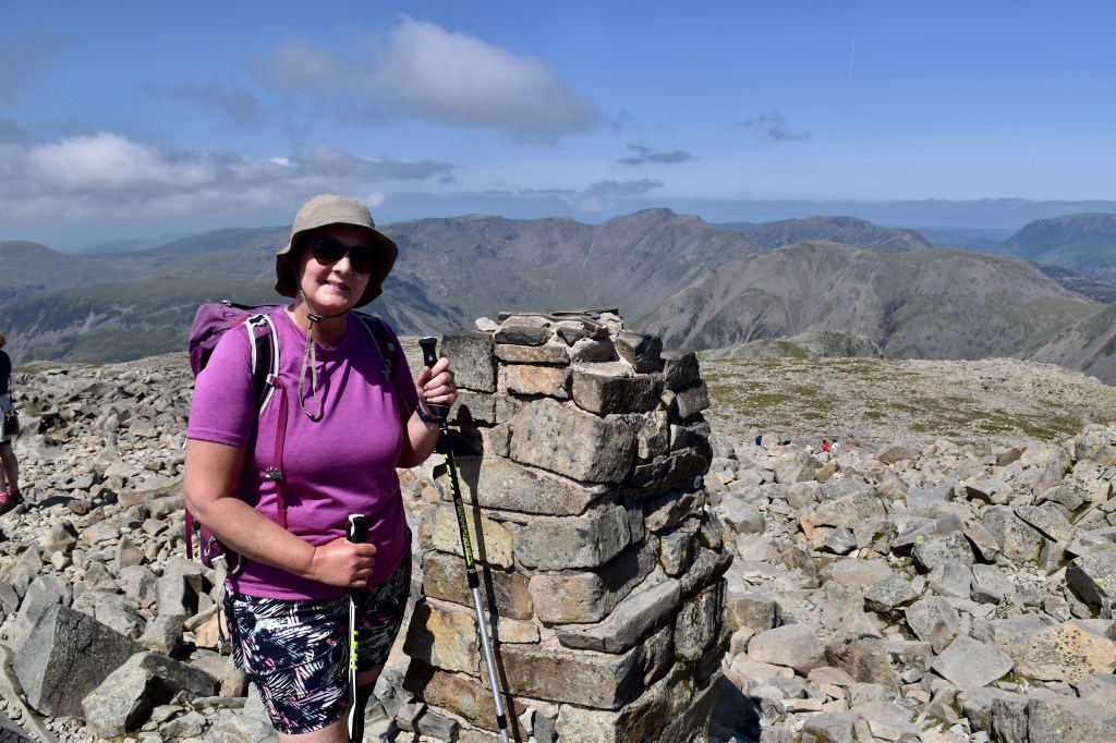
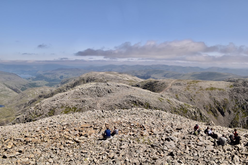
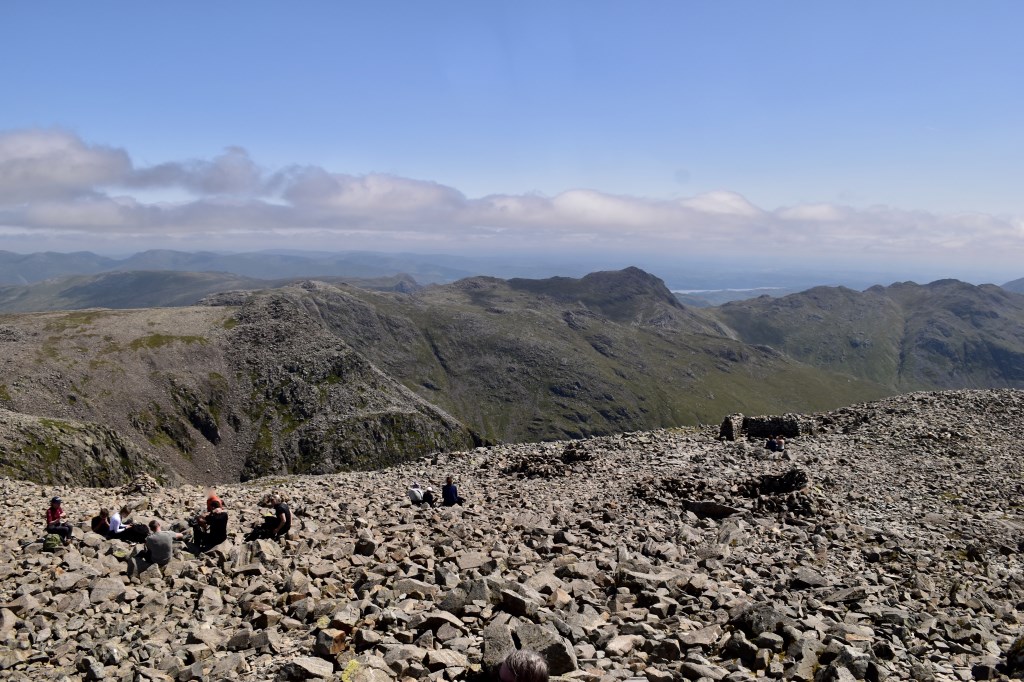
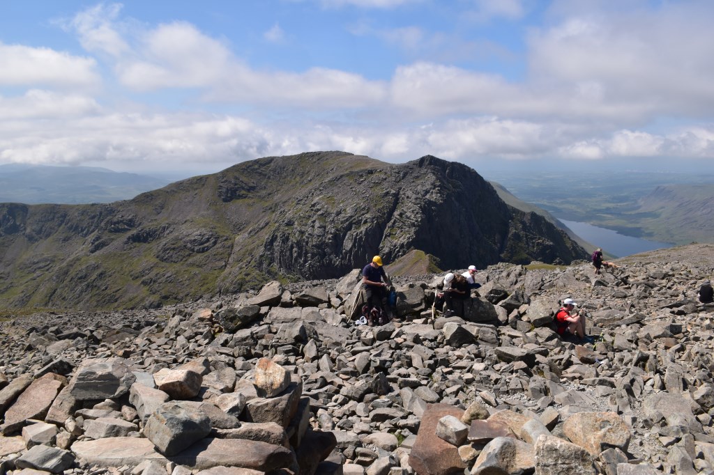
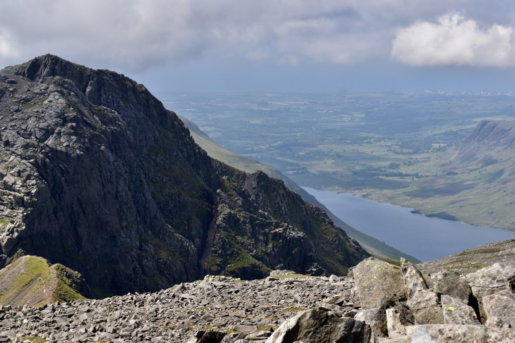
Starting from Wasdale NT car park we headed up the steep path to Lingmell before heading up onto the summit of Scafell Pike. We enjoyed some lovely cloud formations around Scafell along the way. The views everywhere else were superb and we were buzzed by an enormous RAF bomber just before reaching the top! We had an early start due to the heat and because of my client's worries that she felt she was very slow. We had plenty of stops on the way up which made for a very pleasant day and we had an early lunch on Lingmell. As expected towards lunchtime and throughout the afternoon it became very hot, made worse by the lack of breeze. We headed down via the 'tourist path' which was the worst part of our day! A great day out in all and nice to see the views from the summit :)
Area :
Southern Fells (Scafell Pike)
The Southern Fells Include Scafell Pike, the highest peak in England, occupy a broad area to the south of Great Langdale, Borrowdale and Wasdale. High and rocky towards the centre of the Lake District, the Southern Fells progressively take on a moorland character toward the south west. In the south east are the well known Furness Fells, their heavily quarried flanks rising above Coniston Water.