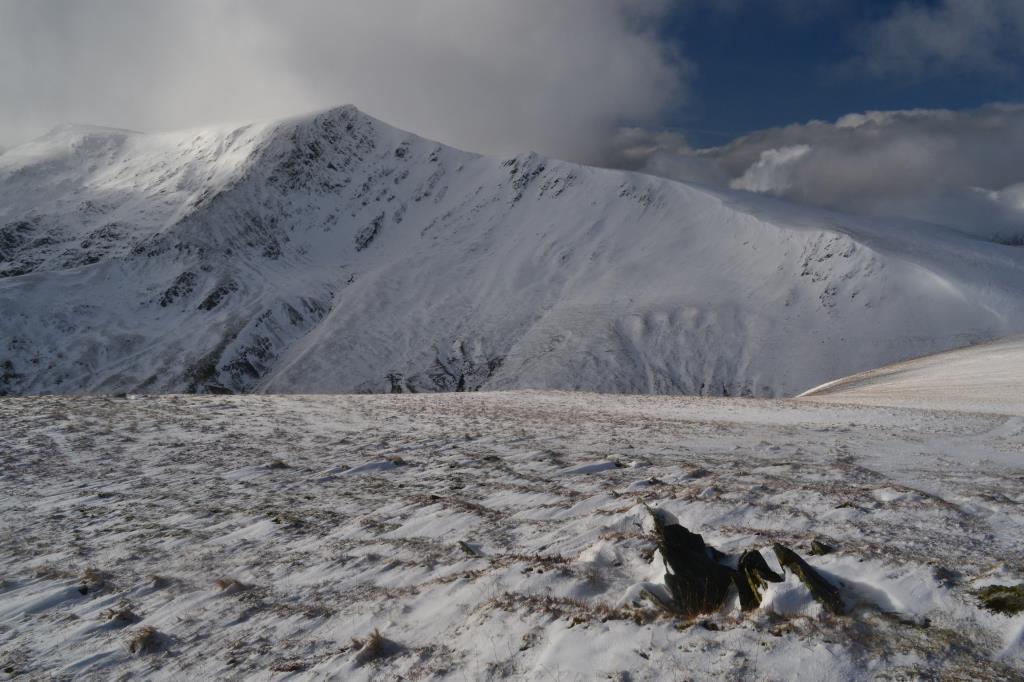
This was a fantastic group walk (party of 8) starting at Mungrisedale, then: The Tongue-Bowscale Fell-Bannerdale Crags-Mungrisedale Common-path below Scales Fell-Souther Fell-Mungrisedale. Conditions in the valley were wet but snow-free. At around 600m there was a thick layer of snow (knee deep in places) with icy conditions beneath the snow. Crampons were worn and ice axes carried at this point, full winter gear worn. There was a very strong wind on the summits with a large wind chill factor, and large snow cornices along Bannerdale Crags and the edges of Blencathra. The snow here was layered with ice too, which needed extra care. We were careful to avoid these and warn those behind us of their presence. The party had split up on Bowscale Fell, so I helped to navigate until we rejoined at the next section (Bannerdale Crags). We continued across Mungrisedale Common and had lunch marvelling at the spectacular sight of people descending from Blencathra to Scales Fell. They reported that conditions underfoot were extremely treacherous. We watched people ascending Sharp Edge and proceeded down to Souther Fell, which was very boggy. Visibility was good and the marching clouds gave some excellent photographic opportunities!
Area :
Northern Fells
Generally this is the area to the north of the A66 which runs from Penrith to Cockermouth and the town of Keswick.